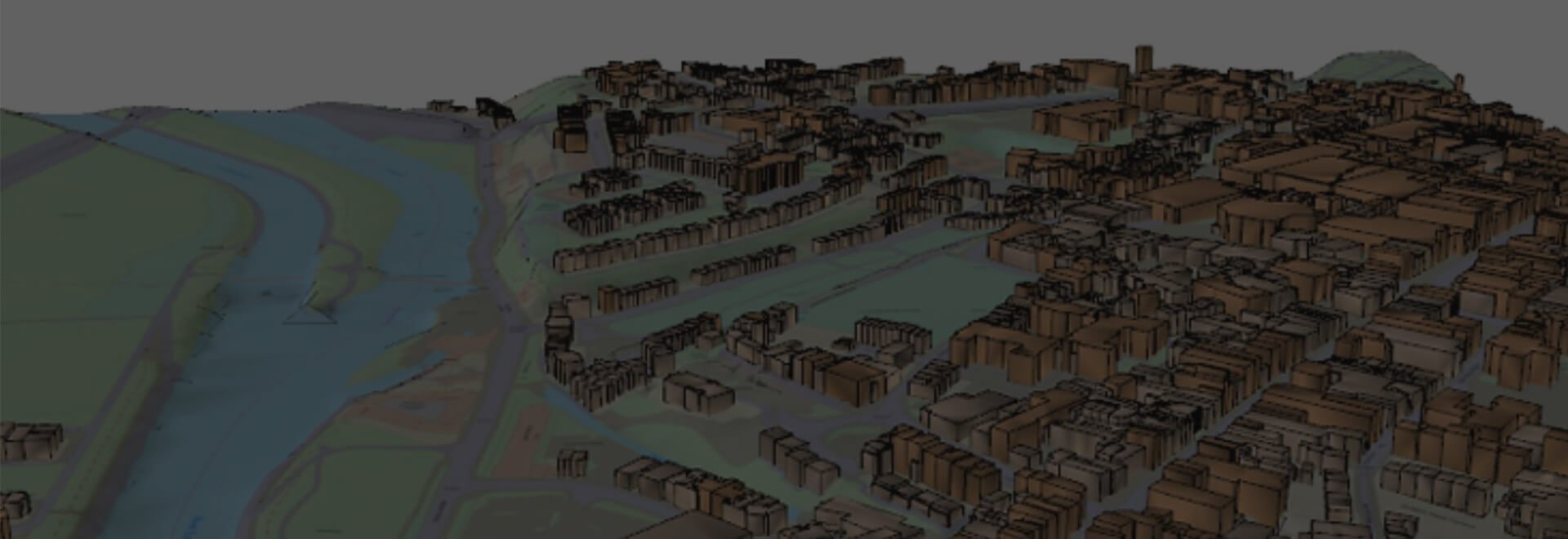
OS MasterMap with Building Height Attribute
Understand the built environment with Building Height Attributes added to OS MasterMap.
Overview
OS MasterMap with Building Height Attributes consists of three absolute height values and two relative height values for each building polygon.The building height attribute information is created from Digital Terrain Model (DTM) and Digital Surface Models (DSM).
Absolute Height Attributes:
- Absolute Height Minimum – the ground height value.
- Absolute Height Max – the highest point of a building.
- Absolute Height 2 – the height of the buildings eave height, or the lowest point at where the roof meets the vertical walls.
Relative Height Attributes:
- Relative Height Maximum – the Absolute Height Maximum minus the Absolute Height Minimum.
- Relative Height 2 – the Absolute Height 2 minues the Absolute Height Minimum.
Data Information
| Dataset | OS MasterMap with Building Height Attribute |
| Supplier | Ordnance Survey |
| Typical Delivery Time | 1-3 minutes |
Available now
OS Detail with Building Height Attribute is ready in a range suitable formats within minutes.
Go to Promap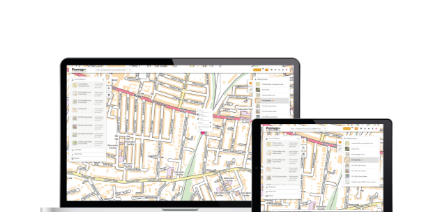
Download samples
OS MasterMap with Building Height Attributes 2D DWG OS MasterMap with Building Height Attributes 3D DWG OS MasterMap with Building Height Attributes GZ + CSV OS MasterMap with Building Height Attributes CSVL
Export formats
DWG DWG GZ + CSV CSVL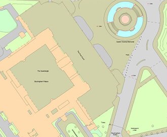
OS MasterMap
Updated every 6 weeks, MasterMap provides the most accurate view of the land. We also offer a range of other mapping layers to provide the full picture.
Browse OS MasterMap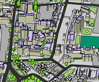
Zmapping Detailed 3D Models
High detail 3D models providing an accurate representation of the real-world.
Browse Zmapping 3D Models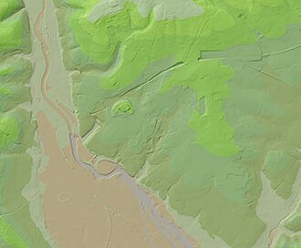
OS Terrain
Available at a 5m or 50m resolution, Ordnance Survey Terrain data represent the physical landscape of Britain.
Browse OS Terrain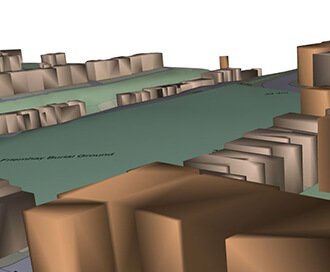
OS Detail 3D Data Bundle
A combination of three core Ordnance Survey products including MasterMap, Terrain 5 and MasterMap with Building Height Attributes
Browse 3D Data Bundle