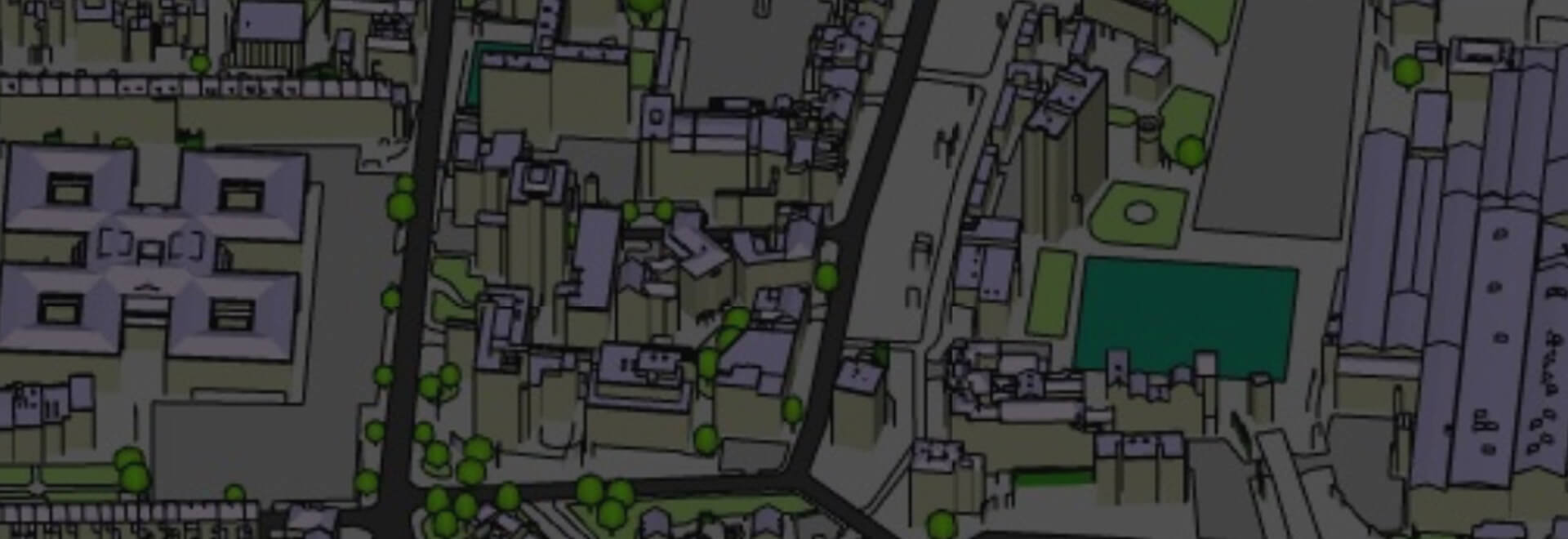
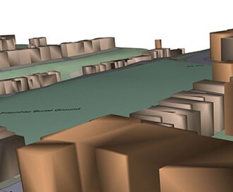
Zmapping Detailed 3D Models
High detail 3D models providing an accurate representation of the real-world.
Overview
Zmapping 3D models are available either off-the-shelf or bespoke, dependent on coverage. All models are supplied in CAD formats with separate layers including:
- buildings;
- roads;
- ground (terrain model);
- water;
- trees
For many major towns and cities, models can be supplied within 48 hours, however see below for more information about delivery times.
Data Information
| Product Name | Zmapping 3D Model (High Detail) |
| Supplier | Zmapping |
| Coverage | GB |
| Typical Delivery Time | Zmapping 3D Model (High Detail) - 1-2 working days Zmapping 3D Model (High Detail) - 15 working days |
Available now
Zmapping Detailed 3D Model is ready in a range suitable formats within minutes.
Go to Promap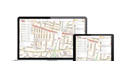
Download samples
Download Zmapping 3D Model DWG Download Zmapping 3D Model SKP Download Zmapping 3D Model 3DS Download Zmapping 3D Model MAX Download Zmapping 3D Model FBX
Export formats
DWG SKP 3DS MAX FBXScale
+/- 50cm
OS Detail 3D Data Bundle
A combination of three core Ordnance Survey products including MasterMap, Terrain 5 and MasterMap with Building Height Attributes
Browse 3D Data Bundle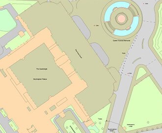
OS MasterMap
Updated every 6 weeks, MasterMap provides the most accurate view of the land. We also offer a range of other mapping layers to provide the full picture.
Browse OS MasterMap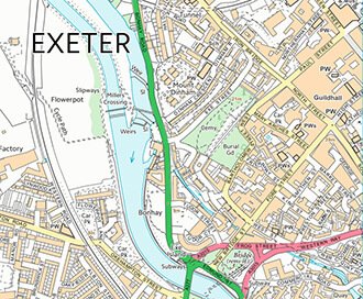
VectorMap Local
A high detail backdrop map from the Ordnance Survey, Vectormap Local available as either as digital data or in a PDF
Browse VectorMap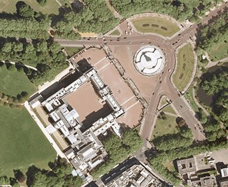
Getmapping Aerial Photography
Available in a range of resolutions and across Great Britain, Getmapping Aerial Photography is avaialble to view, print and export.
Browse Getmapping Aerial Photography