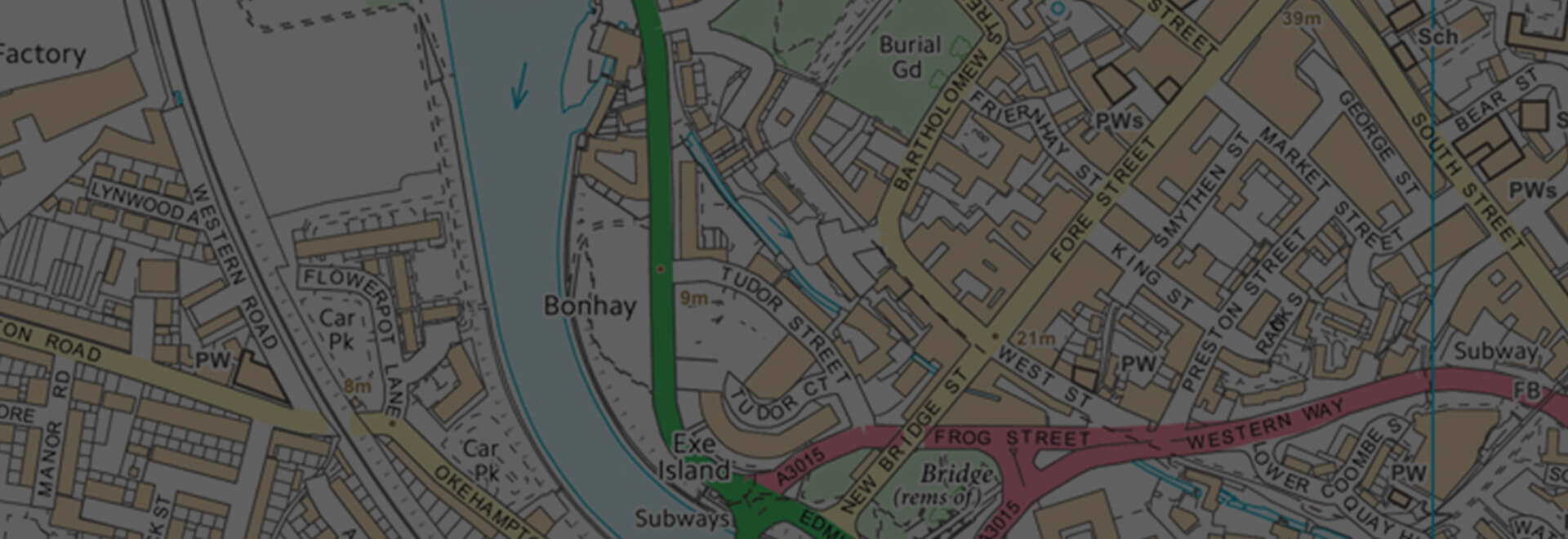
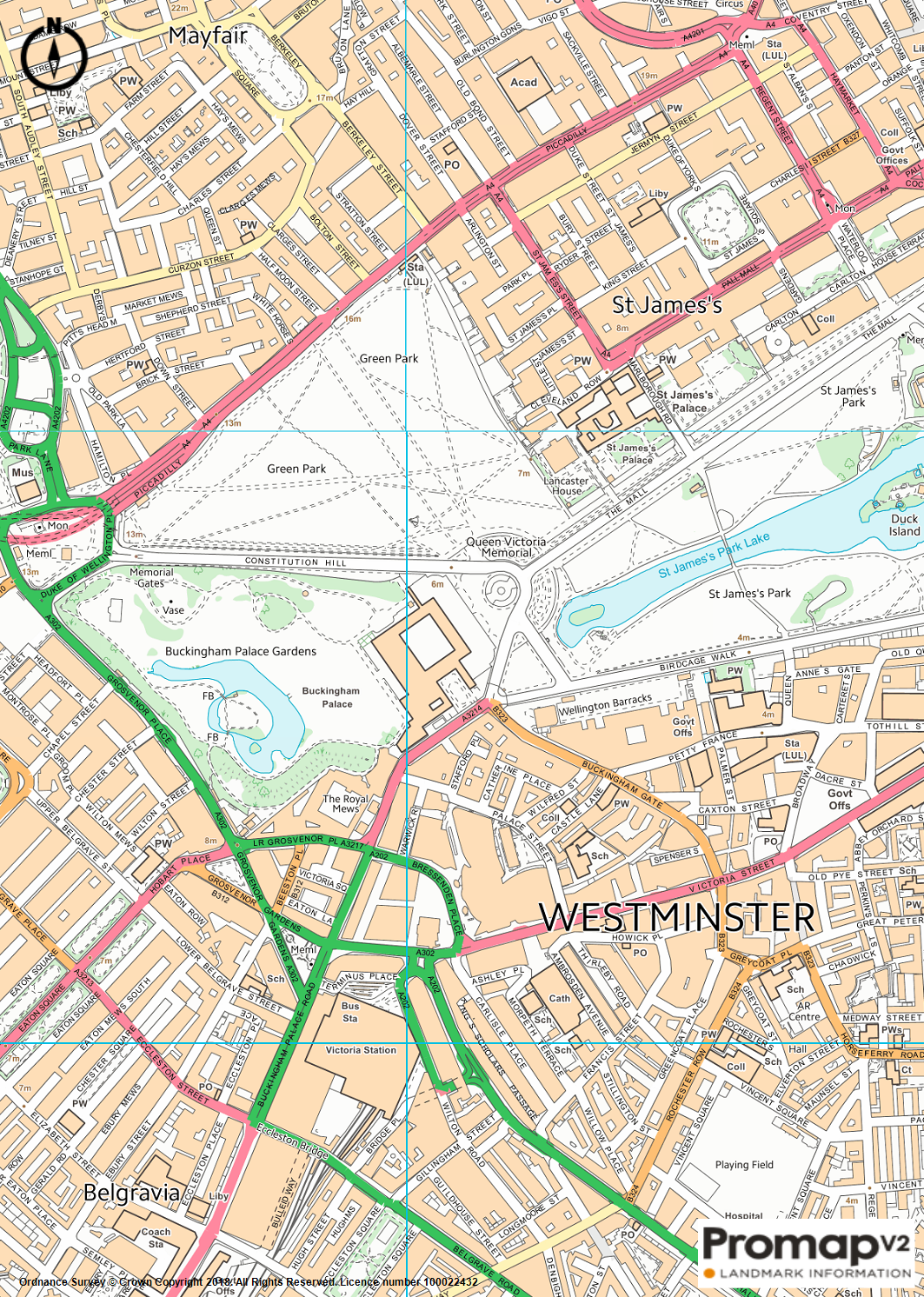
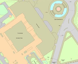
VectorMap Local
A high detail backdrop map from the Ordnance Survey, VectorMap Local available as either as digital data or in a PDF
Download samplesOverview
OS VectorMap Local (VML) is the most detailed backdrop mapping for providing location context. VML contains the following features:
- buildings, structures and leisure areas;
- roads, paths and tracks;
- vegetation and surface features;
- water features;
- railways;
- height and control information
- archaeological and antiquity information
Available in both vector and raster formats, the vector map will allow you to style the mapping to fit your use case.
Data Information
| Dataset | VectorMap Local (1:10,000) |
| Supplier | Ordnance Survey |
| Update Cycle | Quarterly |
| Coverage | GB |
| Typical Delivery Time | 1-3 minutes |
Download samples
Download OS VectorMap Local DWG Download OS VectorMap Local DXF Download OS VectorMap Local SHP Download OS VectorMap Local TAB Download OS VectorMap Local PDF Download OS VectorMap Local PNG
Export formats
DWG DXF SHP TAB PDF PNGScale
1:10,000 (recommended viewing scales between 1:3,000 and 1:20,000)
Explore our range of related products
OS MasterMap
Updated every 6 weeks, MasterMap provides the most accurate view of the land. We also offer a range of other mapping layers to provide the full picture.
Browse OS MasterMap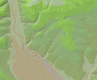
OS Terrain
Available at a 5m or 50m resolution, Ordnance Survey Terrain data represent the physical landscape of Britain.
Browse OS Terrain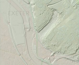
LiDAR Height Data
High accuracy mass capture dataset available in a range of resolutions and formats, including contours, suited to more detailed applications.
Browse LiDAR Height Data
LandSearch
Gather all the information that may impact your development at the touch of a button.