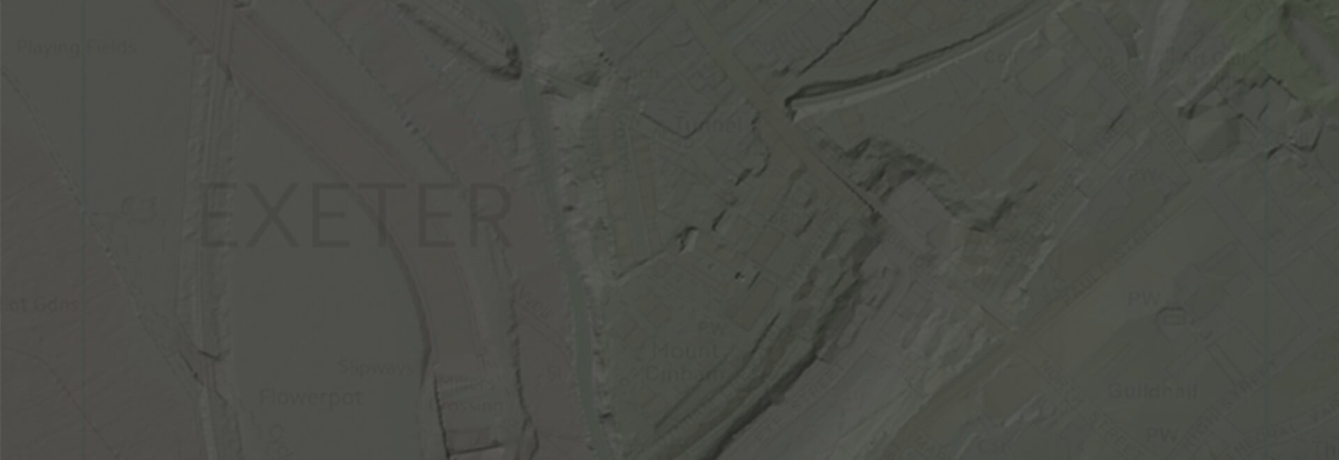
Height Data
Get the lay of the land with our range of height data, ready to be dropped into CAD or GIS applications.
Explore our range of products
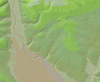
OS Terrain®
Available at a 5m or 50m resolution, Ordnance Survey Terrain data represent the physical landscape of Britain.
Browse OS Terrain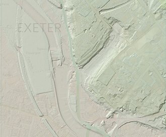
LiDAR Height Data
High accuracy mass capture dataset available in a range of resolutions and formats, including contours, suited to more detailed applications.
Browse LiDAR Height Data