OS Terrain
Available at a 5m or 50m resolution, Ordnance Survey Terrain data represent the physical landscape of Britain.
Download samplesOverview
OS Terrain data has been created from a source that is also used to update other OS large-scale data products and is designed to be interoperable with other OS digital datasets such as MasterMap Topography Layer and VectorMap Local.
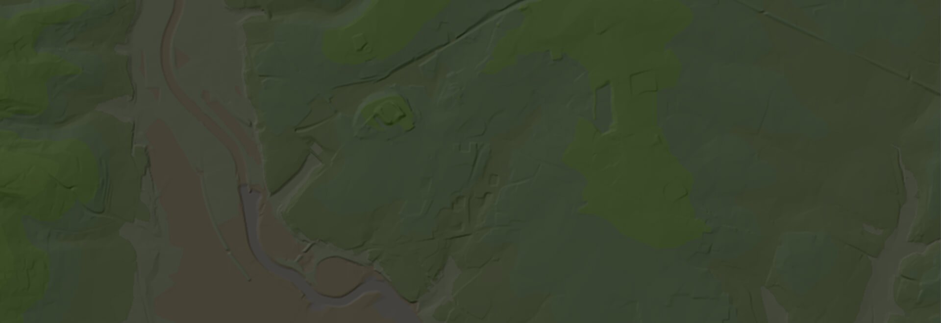
OS Terrain 5 is a mid-scale height dataset that includes detailed modelling of significant landscape and infrastructure features such as road, rail, quarries and lakes. OS Terrain® 5 is available as a set of contours with a 5m vertical interval, along with spot heights and mean high and low water marks. It is also available as a Digital Terrain Model (DTM) consisting of height values at each intersection of a 5m grid.
OS Terrain® 50 is a small-scale height dataset that is ideally suited to landscape visualisation and analysis over large areas. OS Terrain® 50 is available as a set of contours with a 10m vertical interval, along with spot heights and mean high and low water marks. It is also available as a Digital Terrain Model (DTM) consisting of height values at each intersection of a 50m grid.
Data Information
| Dataset | OS Terrain 5 & OS Terrain 50 |
| Supplier | Ordnance Survey |
| Accuracy | Terrain 5 - 5m Terrain 50 - 50m |
| Resolution | Terrain 5 - 1.5m RMSE to 2.5m RMSE Terrain 50 - 4m RMSE |
| Update Cycle | Maintained within the Ordnance Survey’s integrated 3-5 year flying programme and synchronised with other product updates |
| Coverage | GB |
| Typical Delivery Time | 1-3 minutes |
Download samples
Download OS Terrain 5 ASCII Grid Download OS Terrain 5 3D DWG Download OS Terrain 5 3D TIN (DWG) Download OS Terrain 5 3D PDF Download OS Terrain 5 3D TAB Download OS Terrain 5 2D DWG Download OS Terrain 5 2D SHP
Export formats
ASCII Grid DWG 3D TIN (DWG) 3D PDF TAB DWG SHP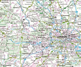
OS MiniScale (1:1,000,000)
See the bigger picture, MiniScale is a uncluttered national map of Great Britain.
Browse OS MiniScale (1:1,000,000)
LiDAR Height Data
High accuracy mass capture dataset available in a range of resolutions and formats, including contours, suited to more detailed applications.
Browse LiDAR Height Data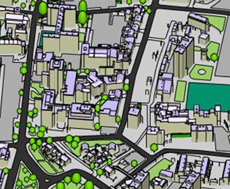
Zmapping Detailed 3D Models
High detail 3D models providing an accurate representation of the real-world.
Browse Zmapping 3D Models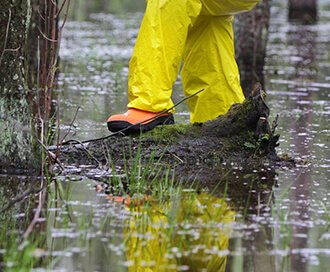
Flood Risk Consultancy
Undertaking planning, if you're in a flood area, you a likely to require a Flood Risk Assessment.
Browse Flood Risk Consultancy