Flood Risk Assessments
Undertaking planning, if you're in a flood area, you a likely to require a Flood Risk Assessment.
Tell us about your next projectCustomer also bought...
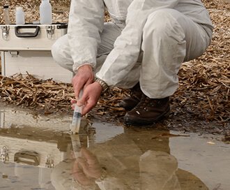
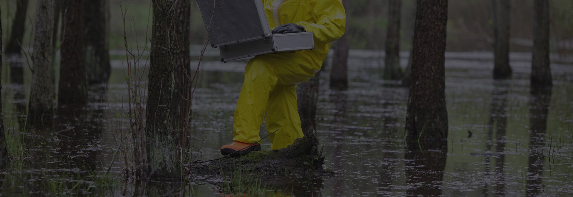
Contaminated Land Consultancy
Our contaminated land planning services are designed to support landowners, developers and other professional advisers through the planning process.
Browse Contamined Land Consultancy
Transactional Due-Diligence
We have developed a unique service to provide cost-effective risk assessment for large residential or commercial property portfolio transactions.
Browse Transactional Due-Diligence
Asset Management
We can support the transaction, management, decision-making and investment in property assets.
Browse Asset Management
LandSearch
Gather all the information that may impact your development at the touch of a button.
What people are saying about Promap
- I always access my OS maps from Promap - I wouldn't think of going elsewhere.
- I've worked in the housebuilding industry for over 20 years and Promap has always been a service that I've used.
- All very quick and easy to do
- Promap was there when I started my career and today we continue to rely on Promap at APD for all our mapping needs; it simply does what we need it to do.
- Promap does exactly what we need it to do; it is our platform of choice.
- Promap makes our lives easier and assists us in delivering our projects on time with a high degree of accuracy.
- I can’t remember not using Promap to be honest – it’s been the application I always revert to in order to identify and measure sites, pinpoint locations calculate distances between places and calculate a distance radius from a given target.
- It is definitely a time saving tool and cost effective to our business and our clients. As a consultancy, it is reassuring to know that we have the support of Landmark’s Promap, which is always there when you need it.
What you get when you work with Promap
Nothing to install, it's all here in your browser
That's right, we're ready to go when you are. Best of all Promap now works on any modern browser or operating system.
Customer service when you need it
We're mapping geeks at heart and are always happy to help. Whether you've got a question or a problem, feel free to get in touch.
Save maps to build your own map library
Save all your maps to create your very own mapping archive. Revisit old sites at any time.
Export your map in the format you need
Our mapping is provided in a range of digital formats. Perfect for use in CAD or GIS.