Paper Map Copying Licence
Use the Paper Map Copying Licence to get the most out of OS maps in your organisation.
Overview
It’s simple to order your Paper Map Copying Licence, either complete our form by clicking here or call our Customer Service Team on +44 (0) 844 844 9960.
But what is a PMCL?
We work with the Ordnance Survey to ensure that mapping is protected under Crown copyright by virtue of the Copyright, Designs and Patents Act 1988. Copying of mapping can be authorised under different copyright licences depending upon the intended use.
This Licence enables businesses to make unlimited copies of mapping in paper or electronic form (NB not including vector data Exports i.e. OS Detail Mapping taken as a DWG, DXF or GML File; these files are covered under a separate export licence). It is purchased on a per office basis and covers all copying of OS maps by that office irrespective of the number of copies.
By purchasing a PMCL it will allow you to:
- Copy unlimited amounts of original Ordnance Survey mapping to support your day-to-day administration and operations
- Make copies of mapping in either paper or electronic form (although further rules apply to making electronic copies – please see the licence text for further details)
- Include copies of mapping in leaflets, brochures and display on web pages, subject to the rules set out in the licence
- Use copies of mapping as part of a professional service, subject to the rules set out in the licence
- Copy all Ordnance Survey mapping in all offices where that business operates, subject to the applicable fee payable for the number of offices
- Copy mapping based on Ordnance Survey mapping produced by another publisher, subject to obtaining permission to copy the mapping involved directly from that publisher
Available now
Paper Map Copying Licence is ready in a range suitable formats within minutes.
Go to Promap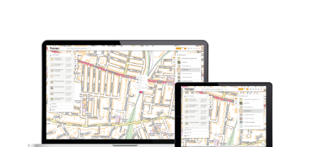
Explore our range of related products
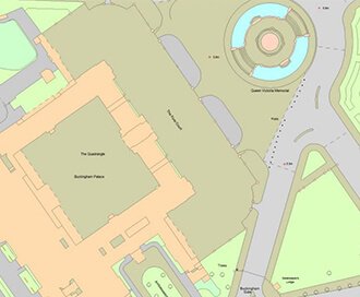
OS MasterMap
Updated every 6 weeks, MasterMap provides the most accurate view of the land. We also offer a range of other mapping layers to provide the full picture.
Browse OS MasterMap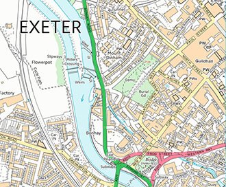
VectorMap Local
A high detail backdrop map from the Ordnance Survey, Vectormap Local available as either as digital data or in a PDF
Browse VectorMap
OS 1:25,000 Colour Raster
The digital version of the popular OS Explorer maps, providing a wealth of information regarding rights of way.
Browse 1:25,000 Colour Raster
OS 1:50,000 Colour Raster
This is the digital version of the popular OS Landranger maps, providing a wealth of information regarding local transport links.
Browse 1:50,000 Colour Raster