Current mapping
From MasterMap to Miniscale, we have any map you might need. All ready to print, export into CAD or drop into your next report.
Start using PromapExplore our range of current mapping
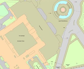
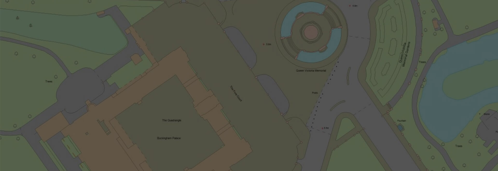
OS MasterMap®
Updated every 6 weeks, OS MasterMap® provides the most accurate view of the land. We also offer a range of other mapping layers to provide the full picture.
Browse OS MasterMap®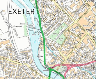
VectorMap Local
A high detail backdrop map from the Ordnance Survey, Vectormap Local available as either as digital data or in a PDF
Browse VectorMap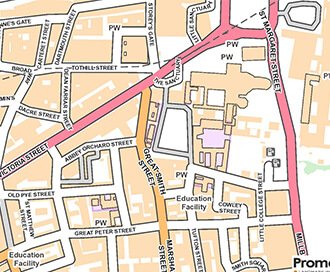
OS OpenMap
Cost effective backdrop mapping that provides context within GIS systems or on paper.
Browse OS OpenMap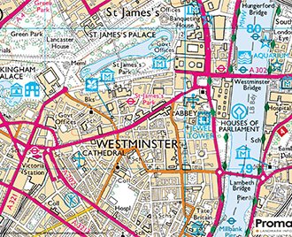
OS 1:25,000 Colours Raster
The digital version of the popular OS Explorer maps, providing a wealth of information regarding rights of way.
Browse 1:25,000 Colour Raster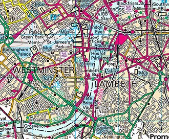
1:50,000 Colour Raster
This is the digital version of the popular OS Landranger maps, providing a wealth of information regarding local transport links.
Browse 1:50,000 Colour Raster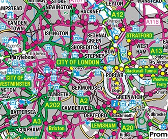
1:250,000 Colour Raster
The digital version of the popular OS Explorer maps, providing a wealth of information regarding rights of way.
Browse 1:250,000 Colour Raster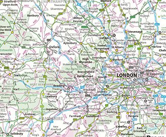
OS MiniScale (1:1,000,000)
See the bigger picture, MiniScale is a uncluttered national map of Great Britain.
Browse OS MiniScale (1:1,000,000)GoView Location Bundle
A set of 3 maps including OS MasterMap, OS OpenMap and OS 1:50,000.
Browse GoViewWhat can I use Current Mapping for?
Valuation Reports
You can use Promap for accurate measurements and all maps are available fully licenced and ready to be dropped into your next report.
Planning Applications
It's easy to outline your red-line boundary. Even better our perfect print templates will take care of the rest.
Site Identification
Looking for potential development opportunities? Our MasterMap and Aerial layers are great for finding that ideal site.
Estate Management
Whether your plotting assets or creating a schedule of condition, our suite of maps provide the perfect backdrop.