


What you get
when you work with Promap
Customise your maps with our advanced drawing tools
We're now available on all modern browsers (and your Mac)
A dedicated Customer Services and Account Management team
A simple interface to get you started in no time


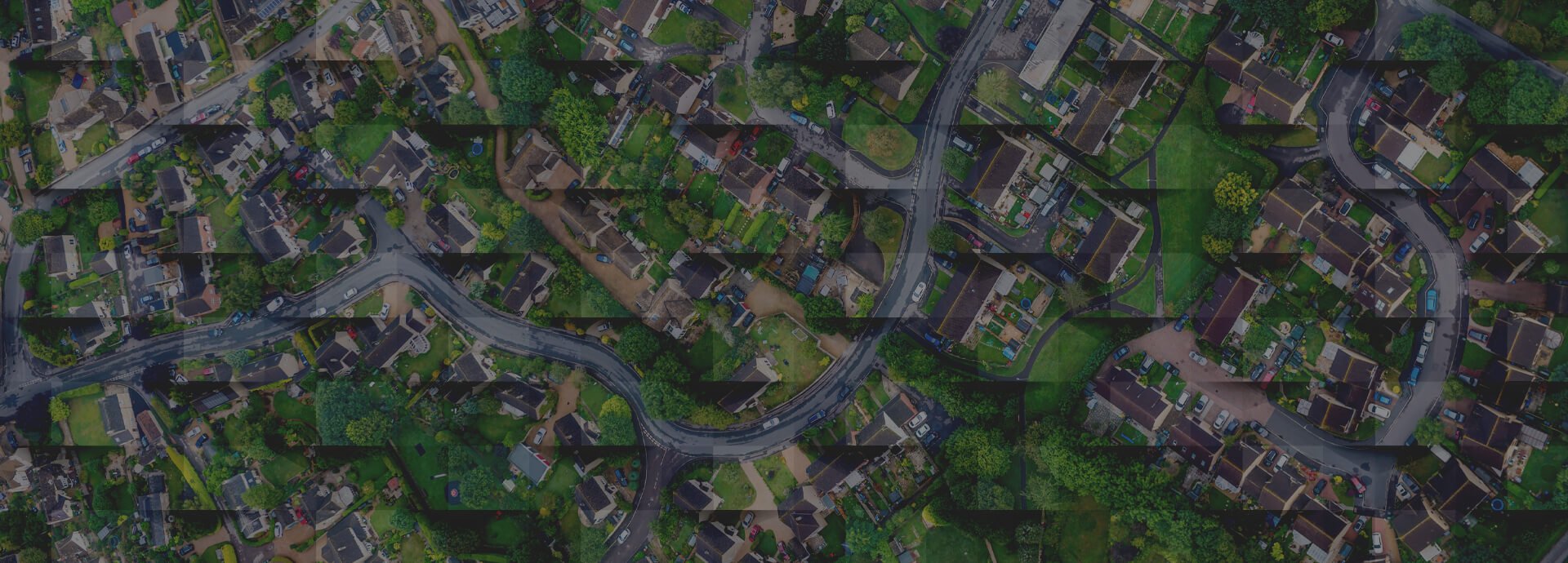
Explore our range of maps, data & consultancy
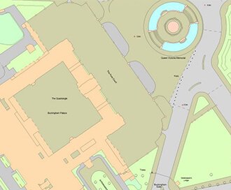
Current Mapping
For Planning Applications to Site Analysis, our wide range of current mapping offers everything you need.
Browse Current Mapping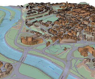
3D Models
Perfect for site planning, analysis and modelling. Our 3D models will take your project to the next dimension.
Browse 3D Models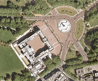
Aerial Photography
Take to the skies to survey your site. Aerial Photography clearly identifies access points, road layout and vegetation.
Browse Aerial Photography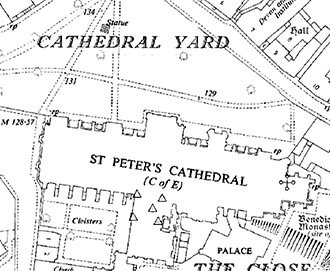
Historical Mapping
Gain access to the our archive of historical maps. What better way to investigate a boundary dispute than by looking into the past.
Browse Historical Mapping