
Promap helps over 20,000 property professional every year
From valuations to site analysis and planning, we provide the maps & data to suit any piece of work
What are our customers saying Discover the Power of Geodata. Don't settle for Promap alone, delve deeper and explore the limitless possibilities our data could offer you.What you get when you work with Promap
Nothing to install, it's all here in your browser
That's right, we're ready to go when you are. Best of all Promap now works on any modern browser or operating system.
Customer service when you need it
We're mapping geeks at heart and are always happy to help. Whether you've got a question or a problem, feel free to get in touch.
Save maps to build your own map library
Save all your maps to create your very own mapping archive. Revisit old sites at any time.
Export your map in the format you need
Our mapping is provided in a range of digital formats. Perfect for use in CAD or GIS.
What people are saying about Promap
- I always access my OS maps from Promap - I wouldn't think of going elsewhere.
- I've worked in the housebuilding industry for over 20 years and Promap has always been a service that I've used.
- All very quick and easy to do
- Promap was there when I started my career and today we continue to rely on Promap at APD for all our mapping needs; it simply does what we need it to do.
- Promap does exactly what we need it to do; it is our platform of choice.
- Promap makes our lives easier and assists us in delivering our projects on time with a high degree of accuracy.
- I can’t remember not using Promap to be honest – it’s been the application I always revert to in order to identify and measure sites, pinpoint locations calculate distances between places and calculate a distance radius from a given target.
- It is definitely a time saving tool and cost effective to our business and our clients. As a consultancy, it is reassuring to know that we have the support of Landmark’s Promap, which is always there when you need it.
Explore our range of maps, data & consultancy
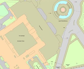
Current Mapping
For Planning Applications to Site Analysis, our wide range of current mapping offers everything you need.
Browse Current Mapping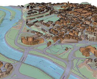
3D Models
Perfect for site planning, analysis and modelling. Our 3D models will take your project to the next dimension.
Browse 3D Models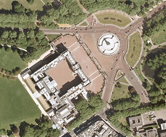
Aerial Photography
Take to the skies to survey your site. Aerial Photography clearly identifies access points, road layout and vegetation.
Browse Aerial Photography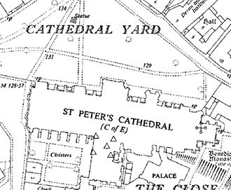
Historical Mapping
Gain access to the our archive of historical maps. What better way to investigate a boundary dispute than by looking into the past.
Browse Historical Mapping
BIM Essentials
We can deliver reliable and licenced data to support anyone, from experienced BIM Professionals to those starting out.
Browse BIM Essentials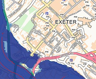
Flood Data
Delve deeper with our flood data to identify any potential flooding risks that may impact your site.
Browse Flood Data
Consultancy & Client Services
Our in-house consults are here to support on anything from redevelopment, flood risk assessments or commercial due diligence.
Browse Consultancy & Client Services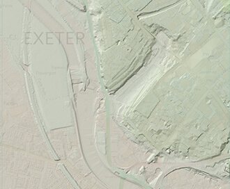
Height Data
Discover the lay of the land using LiDAR models. Perfect for GIS or CAD software.
Browse Height Data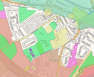
More Data
That’s not all, check out some of our other datasets from Transport Networks to County Boundaries.
Browse More Data
Reports & Licences
Investigating utilities, flooding and contaminated land? Our reports provide reliable data or risk overviews to help you understand your site.
Browse Reports & Licences