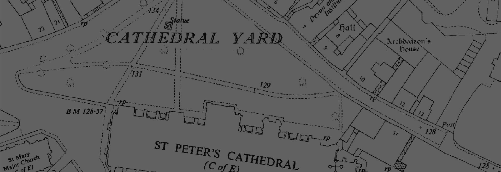
Individual Historic Maps
We offer the ability to preview and select individual mapping dates and scales to gain invaluable insight into your site's past.
Download samplesOverview
Choose from a list of historic Ordnance Survey maps dating all the way back to the 1840s. These maps provide a unique and invaluable record of the past to support any project from environmental analysis to boundary disputes.
You’re able to preview and select specific dates and scales to ensure you recieve the mapping you need. All maps provide 1km2 of historical mapping.
Data Information
| Dataset | Individual Historical Map PDF |
| Supplier | Ordnance Survey & Landmark Information Group |
| Source Scale | 1:1,250, 1:2,500 and 1:10,560 |
| Coverage | GB |
| Typical Delivery Time | 1-3 minutes |
Available now
Individual Historic Maps is ready in a range suitable formats within minutes.
Go to Promap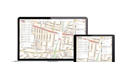
Explore our range of related products
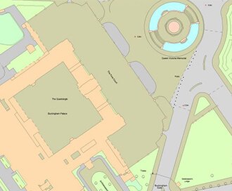
OS MasterMap®
Updated every 6 weeks, OS MasterMap® provides the most accurate view of the land. We also offer a range of other mapping layers to provide the full picture.
Browse OS MasterMap®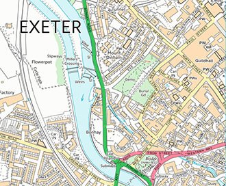
VectorMap Local
A high detail backdrop map from the Ordnance Survey, Vectormap Local available as either as digital data or in a PDF
Browse VectorMap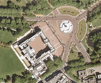
Getmapping Aerial Photography
Available in a range of resolutions and across Great Britain, Getmapping Aerial Photography is avaialble to view, print and export.
Browse Getmapping Aerial Photography
Contamined Land Consultancy
Our contaminated land planning services are designed to support landowners, developers and other professional advisers through the planning process.
Browse Contamined Land Consultancy