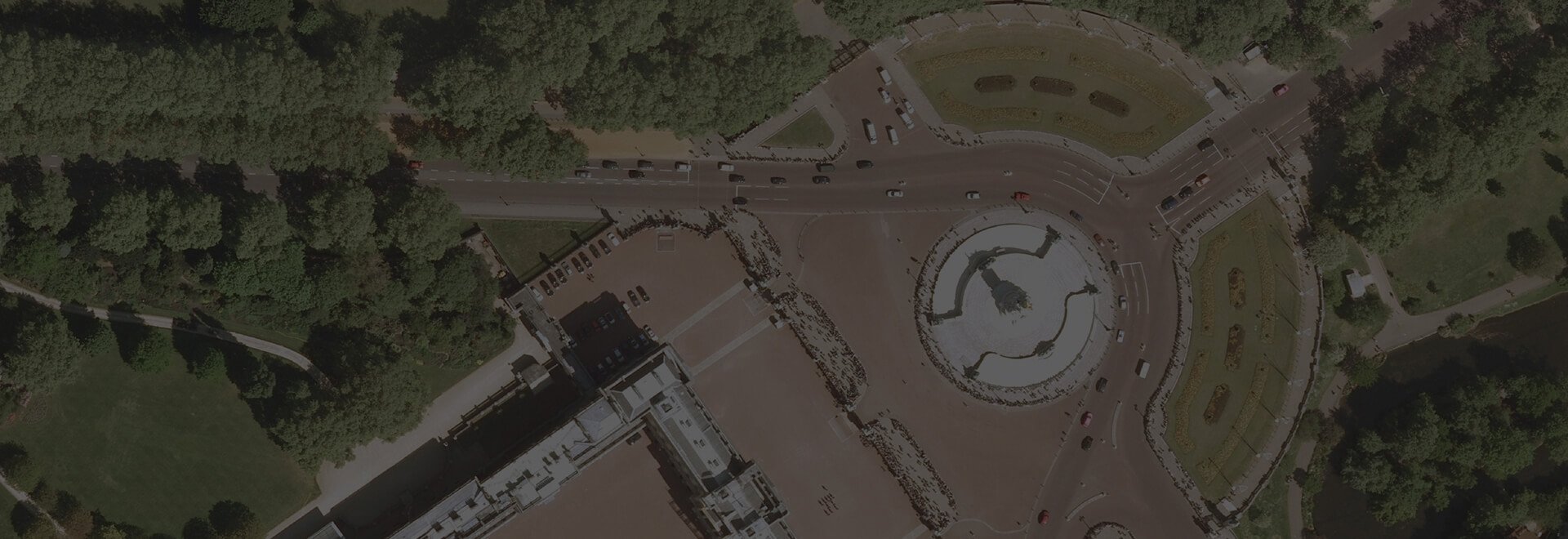
Aerial Photography
Bring your maps to life with our aerial photography to clearly identify access points, vegetation and road networks.
Explore our range of products
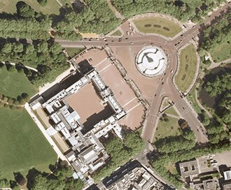
Getmapping Aerial Photography
Available in a range of resolutions and across Great Britain, Getmapping Aerial Photography is avaialble to view, print and export.
Browse Getmapping Aerial Photography