Getmapping Aerial Photography
Available in a range of resolutions and across Great Britain, Getmapping Aerial Photography is available to view, print and export.
Download samplesOverview
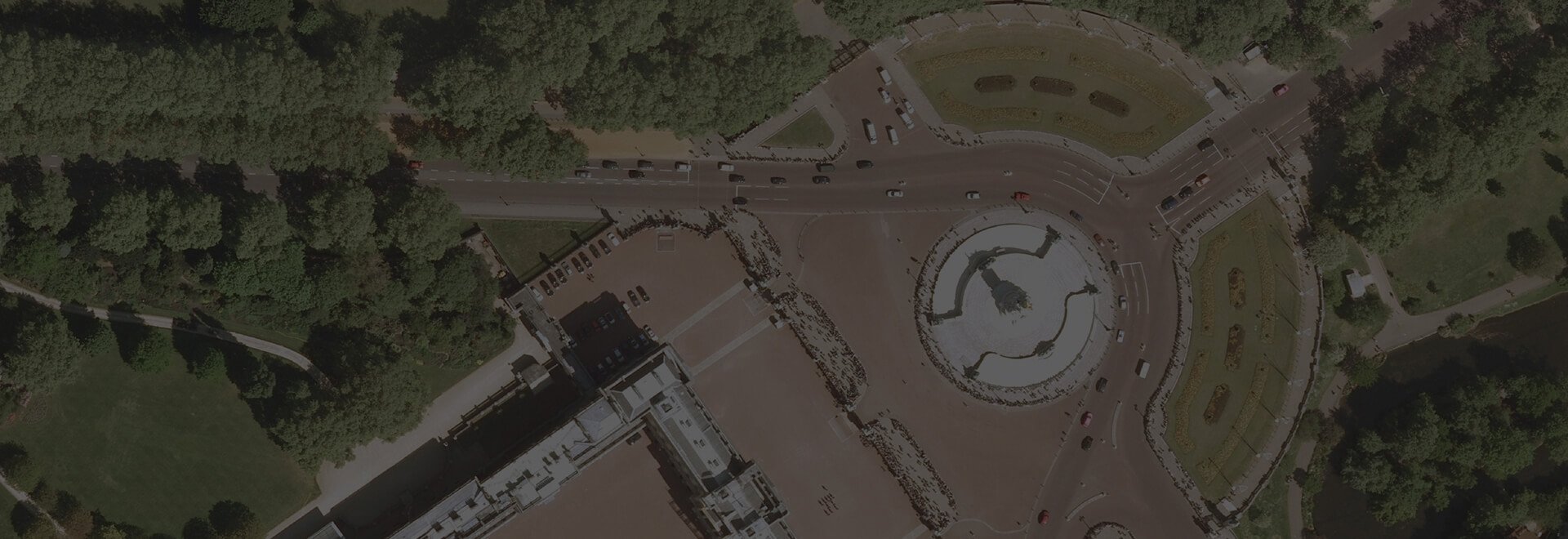
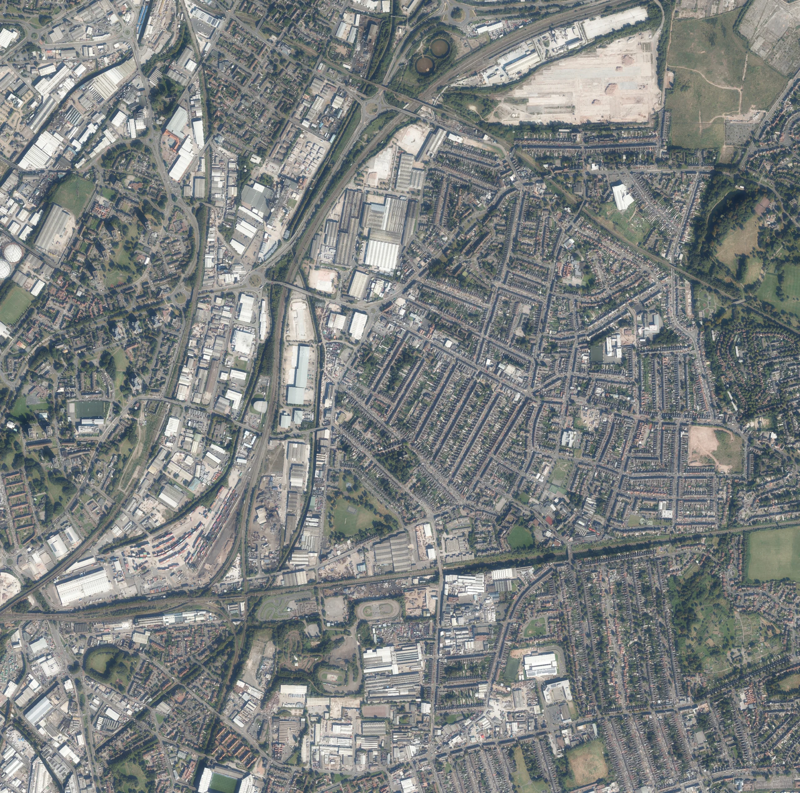
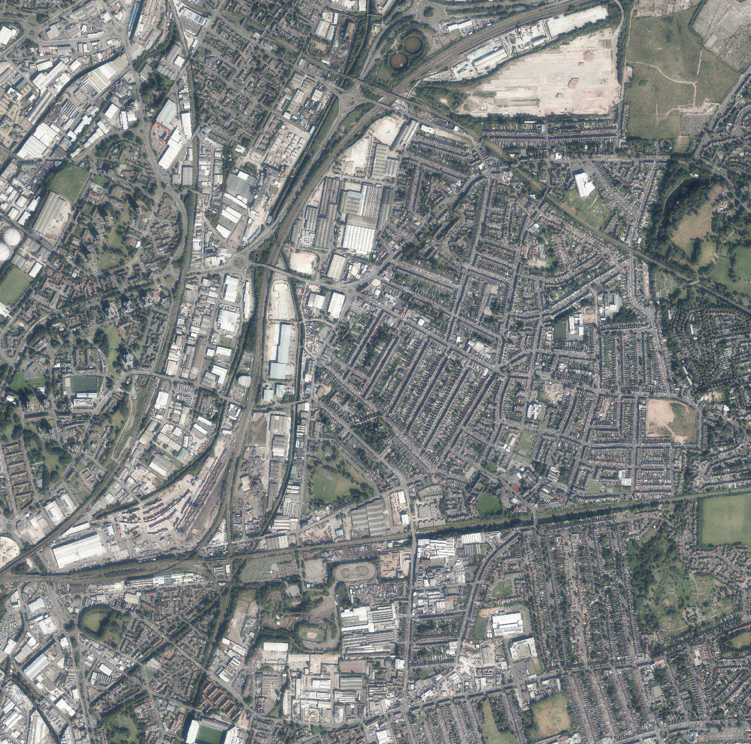
Working with Getmapping, the UK’s leading supplier of aerial photography, we deliver a seamless and current layer of aerial photography direct to your browser. Our hybrid function allows you to overlay aerial photography on top of current mapping to discover even more information.
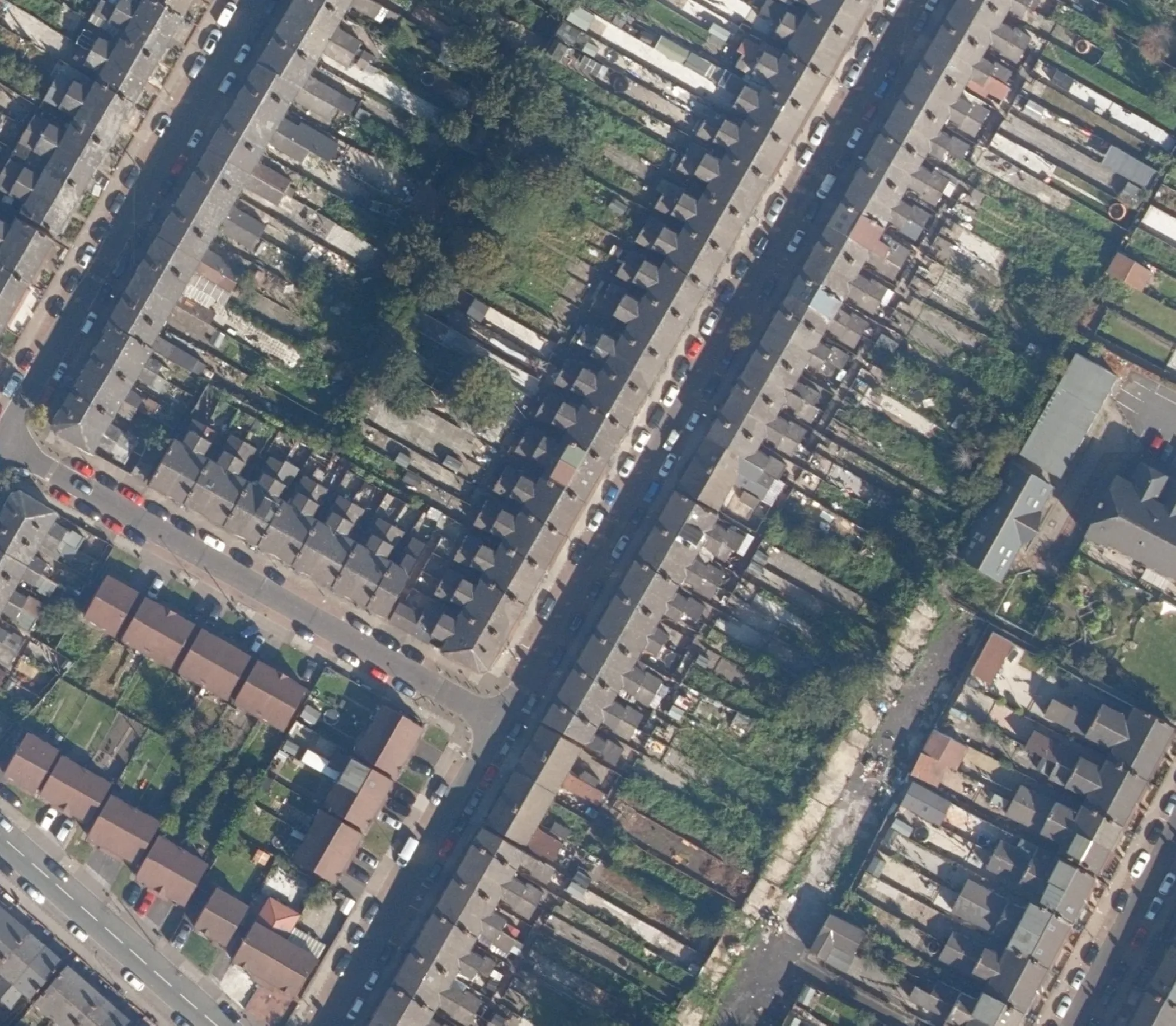
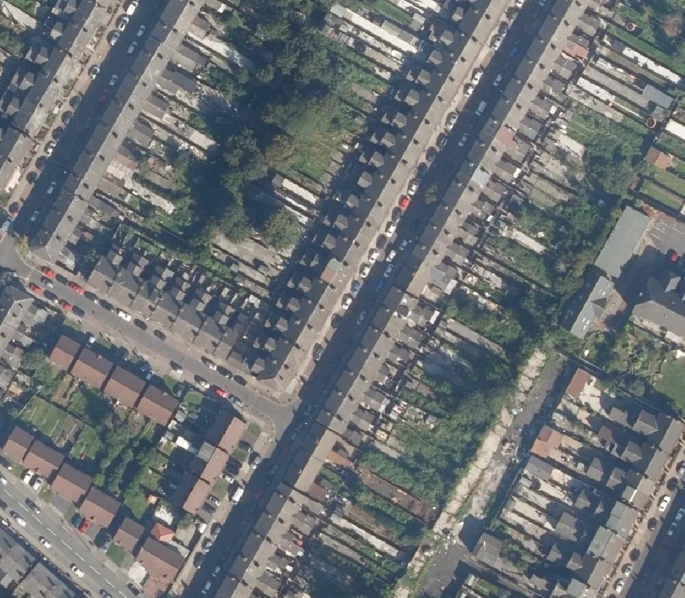
Available in a range of resolutions, Getmapping Aerial Photography is a valuable addition to any map and provides detail down to street level, with objects such as cars and trees easily identifiable.
Data Information
| Dataset | Getmapping Aerial Photography |
| Supplier | Getmapping |
| Resolution | 12.5cm, 25cm, 50cm & 1m |
| Update Cycle | Regular updates |
| Coverage | GB |
| Typical Delivery Time | 1-3 minutes |
Available now
Getmapping Aerial Photography is ready in a range suitable formats within minutes.
Go to Promap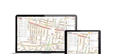
Download samples
Download Getmapping Aerial Photography 12. 5cm Download Getmapping Aerial Photography 25cm Download Getmapping Aerial Photography 25cm Download Getmapping Aerial Photography 25cm Download Getmapping Aerial Photography 25cm
Export formats
JPG JPG JPG JPG JPGScale
1:100 to 1:2,500
Customers also bought...
OS MasterMap®
Updated every 6 weeks, OS MasterMap® provides the most accurate view of the land. We also offer a range of other mapping layers to provide the full picture.
Browse OS MasterMap®
VectorMap Local
A high detail backdrop map from the Ordnance Survey, Vectormap Local available as either as digital data or in a PDF
Browse VectorMap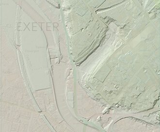
LiDAR Height Data
High accuracy mass capture dataset available in a range of resolutions and formats, including contours, suited to more detailed applications.
Browse LiDAR Height Data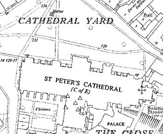
Individual Historic Maps
We offer the ability to preview and select individual mapping dates and scales to gain invaluable insight into your site's past.
Browse Individual Historic Maps