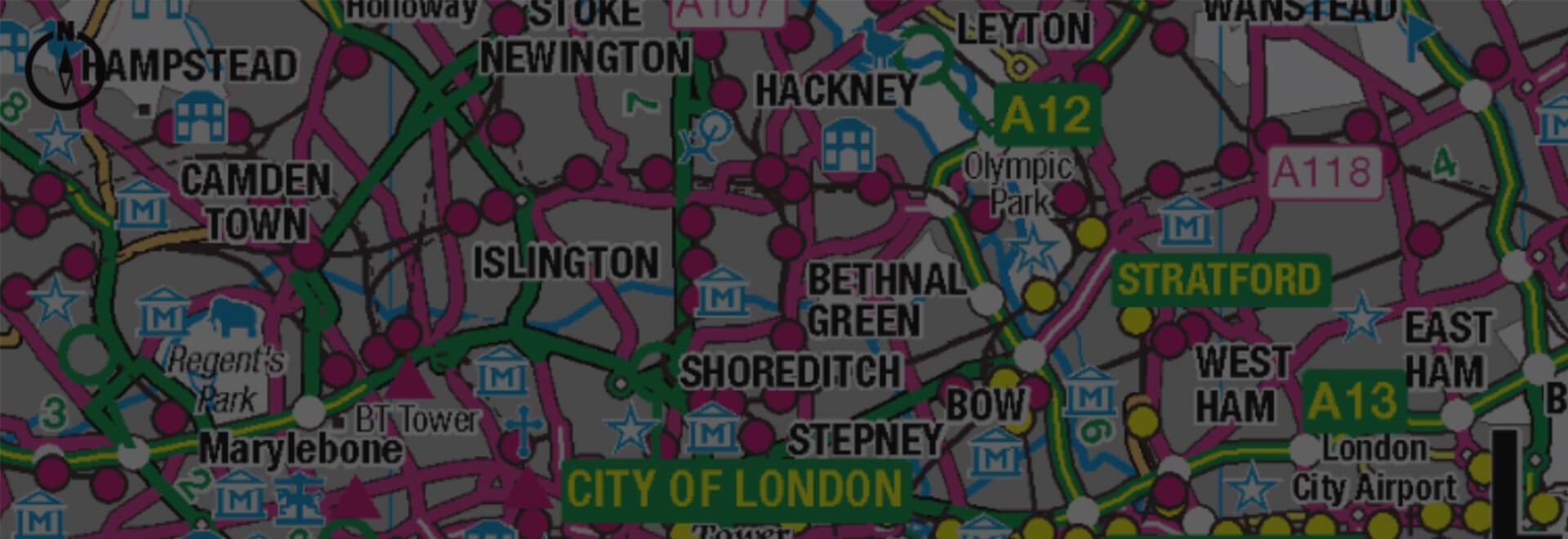
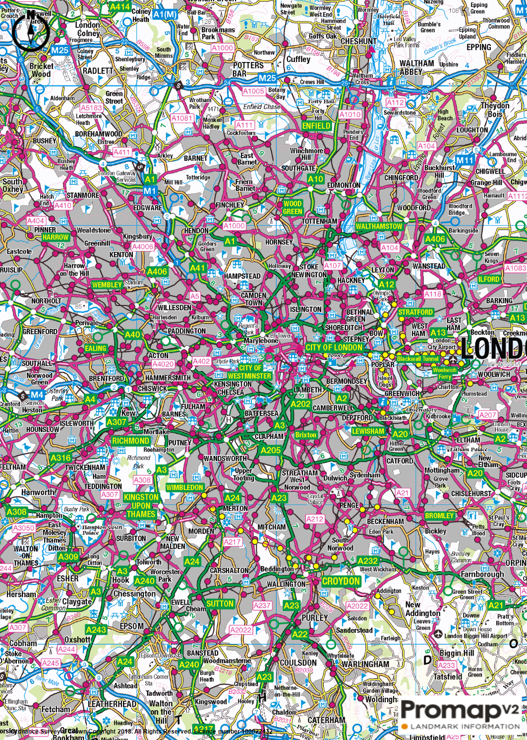
OS 1:250,000 Colour Raster
OS 1:250,000 Colour Raster shows information relating to cities, towns and motorways to provide a regional view similar to that of a traditional road atlas.
Overview
1:250,000 Colour Raster is a small-scale digital raster mapping product that displays features relating:
- Cities and towns;
- Motorways, A and B roads;
- Country lanes;
- Places of interest, including camping and caravan sites;
- Railways;
- Rivers;
- Woodlands.
Data Information
| Dataset | OS 1:250,000 Colour Raster |
| Supplier | Ordnance Survey |
| Update Cycle | Annually |
| Coverage | GB |
| Typical Delivery Time | 1-3 minutes |
Available now
1:250,000 Colour Raster is ready in a range suitable formats within minutes.
Go to Promap
Download samples
Export formats
PNG PDFScale
1:250,000 Colour Raster is designed to be nominally viewed at 1:200,000
Customers also bought
OS 1:25,000 Colour Raster
The digital version of the popular OS Explorer maps, providing a wealth of information regarding rights of way.
Browse 1:25,000 Colour Raster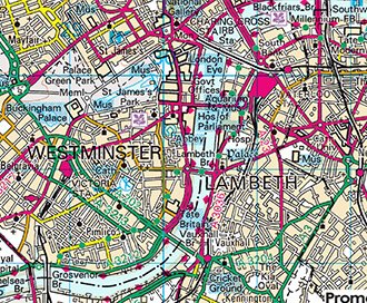
OS 1:50,000 Colour Raster
This is the digital version of the popular OS Landranger maps, providing a wealth of information regarding local transport links.
Browse 1:50,000 Colour Raster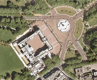
Getmapping Aerial Photography
Available in a range of resolutions and across Great Britain, Getmapping Aerial Photography is avaialble to view, print and export.
Browse Getmapping Aerial Photography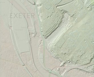
LiDAR Height Data
High accuracy mass capture dataset available in a range of resolutions and formats, including contours, suited to more detailed applications.
Browse LiDAR Height Data