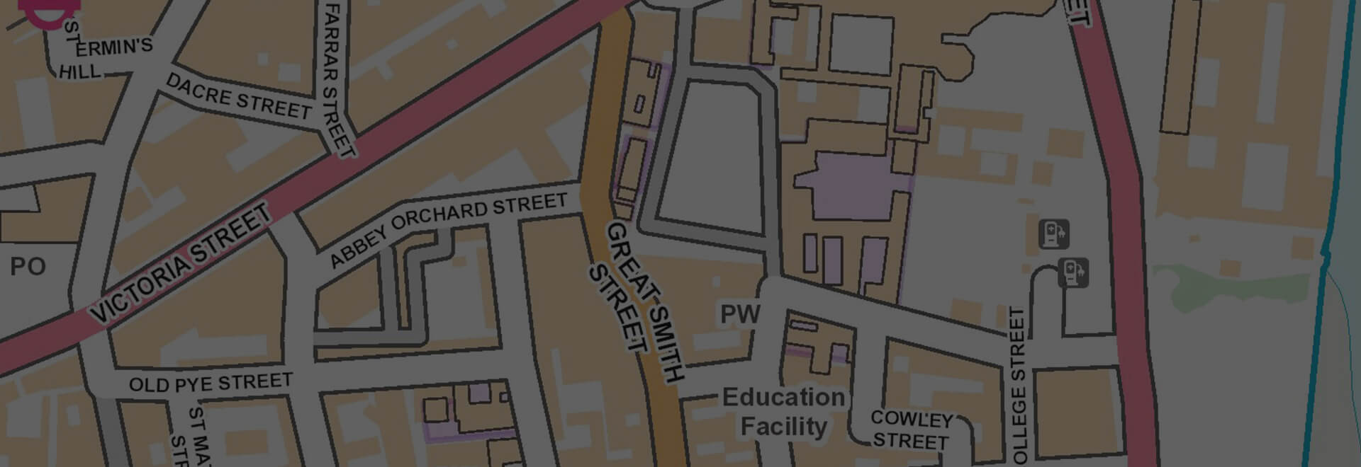
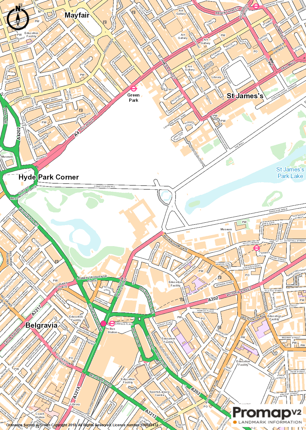
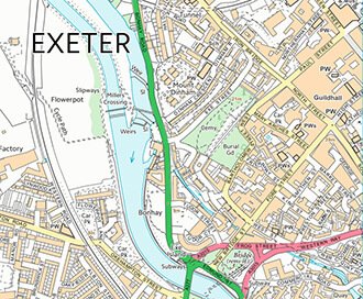
OS OpenMap
Cost effective backdrop mapping that provides context within GIS systems or on paper.
Overview
OS OpenMap has been generalised from OS’ large-scale data, this means it provides a simplified view of the map while keeping the important elements and characteristics of features.
OpenMap shows the following features:
- Buildings & important buildings
- Roads
- Railways & stations
- Electricity transmissions lines
- Surface water and tidal boundaries
- Woodland
Data Information
| Dataset | OS OpenMap |
| Supplier | Ordnance Survey |
| Update Cycle | 6 months |
| Coverage | GB |
| Typical Delivery Time | 1-3 minutes |
Download samples
Export formats
PNG PDFScale
1:10,000 (recommended viwin scales between 1:3,000 and 1:20,000)
Customers also bought...
VectorMap Local
A high detail backdrop map from the Ordnance Survey, Vectormap Local available as either as digital data or in a PDF
Browse VectorMap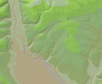
OS Terrain
Available at a 5m or 50m resolution, Ordnance Survey Terrain data represent the physical landscape of Britain.
Browse OS Terrain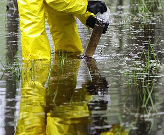
Enviroscreen Environmental Report
Our Enviroscreen report provides a cost effective environmental screening report for commercial property.
Browse Enviroscreen Environmental Report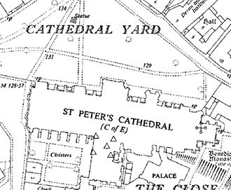
Individual Historic Maps
We offer the ability to preview and select individual mapping dates and scales to gain invaluable insight into your site's past.
Browse Individual Historic Maps