
Maps, Data and Consultancy
We deliver high quality of mapping and data to support projects of any size. We also offer expert consultancy on property or environmental risk.
Get started todayExplore our range of maps, data & consultancy
Layers
We have a range of data layers at your disposal from commercial ownership and flooding data to planning applications and highways data.
Browse Layers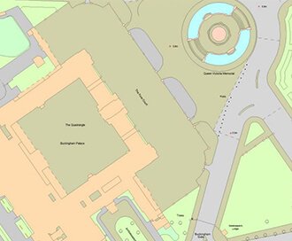
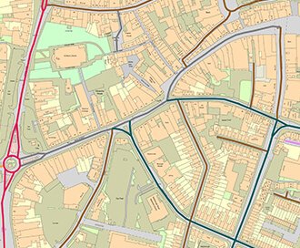
Current Mapping
For Planning Applications to Site Analysis, our wide range of current mapping offers everything you need.
Browse Current Mapping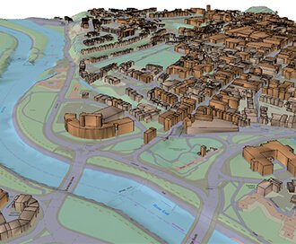
3D Models
Perfect for site planning, analysis and modelling. Our 3D models will take your project to the next dimension.
Browse 3D Models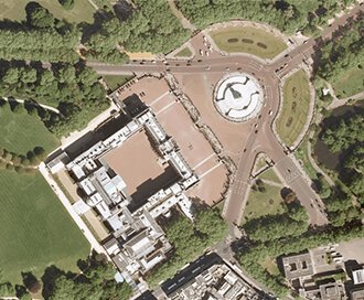
Aerial Photography
Take to the skies to survey your site. Aerial Photography clearly identifies access points, road layout and vegetation.
Browse Aerial Photography
BIM Essentials
We can deliver reliable and licenced data to support anyone, from experienced BIM Professionals to those starting out.
Browse BIM Essentials
Consultancy & Client Services
Our in-house consults are here to support on anything from redevelopment, flood risk assessments or commercial due diligence.
Browse Consultancy & Client Services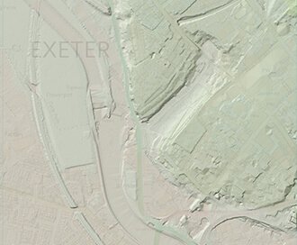
Height Data
Discover the lay of the land using LiDAR models. Perfect for GIS or CAD software.
Browse Height Data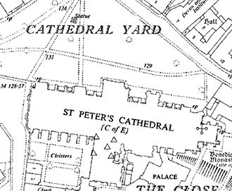
Historical Mapping
Gain access to the our archive of historical maps. What better way to investigate a boundary dispute than by looking into the past.
Browse Historical Mapping
Reports & Licences
Investigating utilities, flooding and contaminated land? Our reports provide reliable data or risk overviews to help you understand your site.
Browse Reports & Licences-
 The ability to search by title number is really useful and the addition of the new title fill tool saves so much time. It is definitely something that I look forward to trying more often in the future.
 - The prompt to save your plan at the end of your transaction is really helpful, it reminds you to save the plan which then save the company money by allowing you to re-use the plan within the 12 month after the original purchase.
What people are using Promap for
Get your planning maps right with Promap
Inaccurate, out of date, unlicenced or incorrectly displayed plans are the most common cause of a planning application being rejected. We're here to help.
Browse planningWe'll help you save time when preparing your next Valuation report.
We provide accurate and up-to-date location plans, that you can drop straight into your next report.
More about valuationsWe deliver digital mapping and data instantly
Mapping, aerial photography and 3D models provided in a range of CAD ready formats, to save you time on your next design.
Browse designDiscover development potential
Our LandSearch reports combines environmental, planning and property information to provide the perfect partner for every developer.
Browse site analysisWhat you get when you work with Promap
Nothing to install, it's all here in your browser
That's right, we're ready to go when you are. Best of all Promap now works on any modern browser or operating system.
Customer service when you need it
We're mapping geeks at heart and are always happy to help. Whether you've got a question or a problem, feel free to get in touch.
Save maps to build your own map library
Save all your maps to create your very own mapping archive. Revisit old sites at any time.
Export your map in the format you need
Our mapping is provided in a range of digital formats. Perfect for use in CAD or GIS.