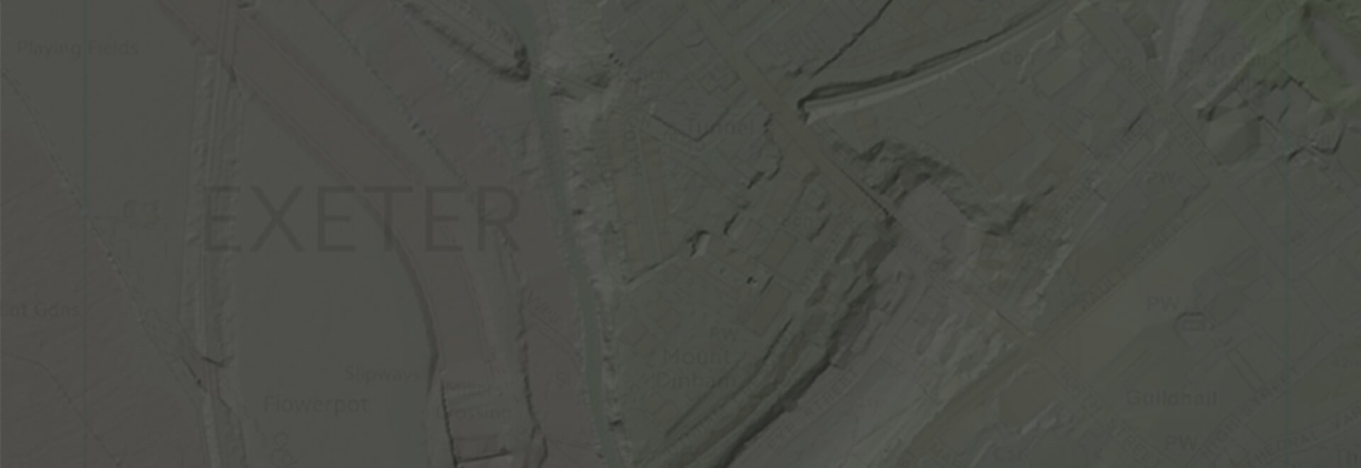
LiDAR Height Data
High accuracy mass capture dataset available in a range of resolutions and formats, including contours, suited to more detailed applications.
Download samplesOverview
Our LiDAR data is sourced from the Environment Agency, and available as a Digital Terrain Model (DTM) or Digital Surface Model (DSM).
DSM’s measure the height values of the first surface on the ground. This includes terrain features, buildings, vegetation and power lines etc. DSM’s therefore provide a topographic model of the earth’s surface.
DTM’s provide a topographic model of the bare earth / underlying terrain of the earth’s surface. They are usually derived from DSM’s by digitally removing the cultural (man-made) and vegetation features.
Data Information
| Dataset | EA LiDAR Height Data |
| Supplier | Environment Agency |
| Update Cycle | Annually |
| Resolution | 25cm, 50cm, 1m & 2m |
| Accuracy | +/- 0.05 to 0.15m |
| Coverage | England & Wales - Pricing reflects coverage on site |
| Typical Delivery Time | Within 2 working days |
Download samples
DSM DWG 2008 (2D Contours) DSM DWG (3D Contours) DSM DWG 2008 (LiDAR Points) DSM TXT 2008 (LiDAR Points) DTM DWG 2008 (2D Contours) DTM DWG 2008 (3D Contours) DTM DWG 2008 (LiDAR Points) DTM TIN DWG
Export formats
DWG DWG DWG TXT DWG DWG DWG DWGExplore our range of related products
OS MasterMap®
Updated every 6 weeks, OS MasterMap® provides the most accurate view of the land. We also offer a range of other mapping layers to provide the full picture.
Browse OS MasterMap®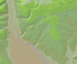
OS Terrain
Available at a 5m or 50m resolution, Ordnance Survey Terrain data represent the physical landscape of Britain.
Browse OS Terrain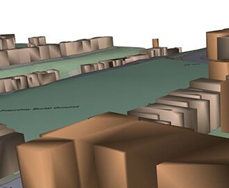
OS Detail 3D Data Bundle
A combination of three core Ordnance Survey products including MasterMap, Terrain 5 and MasterMap with Building Height Attributes
Browse 3D Data Bundle
Zmapping Detailed 3D Models
High detail 3D models providing an accurate representation of the real-world.
Browse Zmapping 3D Models