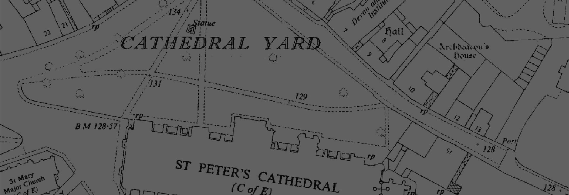
Historical Mapping
Gain access to the largest historical mapping archive in Great Britain, made up of over 1 millions maps.
Explore our range of products
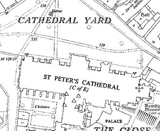
Individual Historic Maps
We offer the ability to preview and select individual mapping dates and scales to gain invaluable insight into your site's past.
Browse Individual Historic Maps