• About Us
  • Meet the Team
  • Media
  • Promap Accreditation Programme
Promap logo
  • Maps, Data & Consultancy
        • View All Maps, Data & Consultancy
        • Layers
        • Current Mapping
          • All Current Mapping
          • OS MasterMap®
          • VectorMap Local
          • OS OpenMap
          • OS 1:25,000 Colours Raster
          • 1:50,000 Colour Raster
          • 1:250,000 Colour Raster
          • OS MiniScale (1:1,000,000)
        • 3D Models
          • All 3D Models
          • Zmapping Detailed 3D Model
          • OS Detail with Building Height Attribute
          • OS Detail 3D Data Bundle
        • Aerial Photography
          • All Aerial Photography
          • Getmapping Aerial Photography
        • Historical Mapping
          • All Historical Mapping
          • Individual Historic Map Plans
        • Height Data
          • All Height Data
          • OS Terrain®
          • LiDAR Height Data
        • Reports & Licences
          • All Reports & Licences
          • Utilities Reports
          • Paper Map Copying Licence
          • LandSearch
        • BIM Essentials
        • Consultancy & Client Services
          • All Consultancy & Client Services
          • Contaminated Land Consultancy
          • Flood Risk Consultancy
          • Transactional Due-Diligence
          • Asset Management
  • Promap for…
        • Browse all Promap uses
        • Promap for Planning
        • Promap for Valuations
        • Promap for Design
        • Promap for Site Analysis
  • Pricing
  • Support
        • Promap Support Overview
        • Promap Release Notes
        • FAQs
        • Support Articles
  • Training
        • Training
        • Onboarding
        • Promap Accreditation Programme
  • Contact
Register today

Windows 10 users click here

64 bit users click here

Launch Promap V2

Register today

Case Study

Search articles

Filter articles

  • Products

  • Type

Archive

June 2023
Friday 9th June 2023

How Planning Alerts enables Exolum and Fisher German to mitigate risks

Read more
May 2023
Friday 26th May 2023

Identifying and tackling crime hotspots with location intelligence

Read more
Friday 12th May 2023

How Land & Water shored up project success with Digital Utilities Overview Plan

Read more
September 2022
Friday 2nd September 2022

How Land and Water shored up project success with Digital Utilities Overview Plan

Read more
August 2022
Wednesday 24th August 2022

COUNTRYWIDE SURVEYING SERVICES + LANDMARK VALUATION SERVICES HomeFact Case Study

Read more

June 2022
Friday 24th June 2022

Landmark and Arts Council England Success Story

Read more
May 2022
Tuesday 24th May 2022

Taylor Wimpey: Land and environmental assessment of development risk

Read more
Thursday 20th May 2021

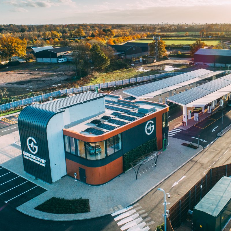
GRIDSERVE – Case Study

Read more

Ask us a question

If you have any queries about Promap or any of our services, please have a look at our FAQs and support articles. If you’re unable to find what you’re looking for, please fill in and submit your details using the form provided and someone will get back to you as soon as possible.

+44 (0) 330 036 6611

customerservice@promap.co.uk

Get in touch

If you are considering Promap as your data provider, would like further information on our products and services, or would like a quotation, then get in touch with our sales team on the details below.

Calls may be recorded for training and quality purposes

+44 (0) 330 036 6627

sales@promap.co.uk

LinkedIn Icon Twitter icon YouTube icon
Contact Us
Privacy *
Marketing
Captcha

Calls may be recorded for training and quality purposes

©2026 Landmark Information Group Ltd. Registered company no. 02892803, registered at 7 Abbey Court, Eagle Way, Sowton Industrial Estate, Exeter, EX2 7HY
  • Terms and Conditions
  • Product Terms and Conditions
  • Privacy Notice
  • Cookies Policy
  • Sitemap
Site by Rouge Media