The importance of having the right planning application maps
Sign up for FREE trainingWhy Do You Need a Planning Map?
When you submit a planning application for a new property or development, the local authority will probably require planning maps to support the application. It’s important to ensure that you use the right type of map, as otherwise your application could be delayed or even denied. They should detail a number of areas regarding the development, and need to use data from current Ordnance Survey maps. If you’ve not put together a planning application before, you need to ensure that you cover each area before submitting your plans.
Maps for planning are an important part of the process. The most common causes of applications being refused by local authorities are because of inaccurate, unlicensed, incorrectly displayed or out-of-date plans. If you do it wrong the first time, it will cost you both financially and in terms of the time it takes to have your plans approved. The maps will enable the relevant local authority to see clearly which land the application is referring to.
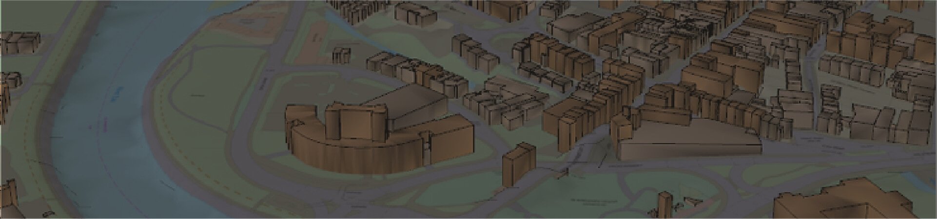
It doesn’t matter what size your proposed development is going to be, as all submissions require planning application maps before they can be discussed. Every authority requires a Location Plan, which shows the surrounding area of the development and puts the plans into context. In some cases, the local authority may require a Block Plan or Site Plan. This puts the development on a larger scale, but it doesn’t have to include any more detail.
How to Prepare Planning Maps
Each time you create maps for planning applications you should have a checklist of all necessary items that you can cover off. This will ensure that nothing is left off and it will help your application go through more smoothly.
Site Location Plans
This should be generated at the standard scale, which is usually 1:1250 scale when dealing with urban applications and 1:2500 for larger developments and those in rural areas. When you prepare a planning map, it must have north clearly marked and should fit on to a piece of A3 or A4 paper. The map needs to include the date when the survey was carried out or the Ordnance Survey licence number and when it was purchased.
The surrounding land should feature all the relevant buildings and roads, and the site boundary needs to be marked in red. This must include any land that is required to gain access to the site. Any land that the applicant owns next to or close to the proposed site should have a blue line drawn around it.
Block Plans
Block plans also need to be produced at the correct scale. This is generally to a 1:200 or 1:500 scale. The proposed development should be detailed, including the site boundary and any existing structures that are on the site. All the relevant dimensions should be included and north clearly marked. These maps must be produced in colour.
Block planning maps have to include a range of information, unless these things won’t be affected by or influence the proposed plans. They should feature any footpaths, roads and buildings that are on the land next to the site, alongside what the arrangements for access will be. Any public rights of way that are next to or across the site should be marked, as well as all the trees that are in place. The maps need to include the type and extent of the hard surfacing and the type and positioning of the boundaries that will be used, such as fencing or walls.
The Use of Ordnance Survey Maps
There are some important areas that you need to be aware of when you’re using Ordnance Survey maps for a planning application.
The map can’t be a Land Registry document, and it must not have been used for more than one application. The planning map must have the Ordnance Survey Crown copyright marked on it. You cannot use a screen grab or a photocopy, and if you’re using a hand-drawn map, it can’t be copied from an existing Ordnance Survey map. If you are copying or printing the maps for use in your application, you need to display the appropriate licence number.
Getting It Right
Producing maps for planning applications is a complex and time-consuming aspect of the process. However, it is a necessary component, and getting it right early on in the development process will stand your application in good stead and make it more likely to be approved and a decision made quickly.
A useful method of creating your planning map is to use a specialist supplier of maps such as Promap. With extensive experience in the industry, we can ensure that you receive a high-quality map that meets your requirements. We work with a wide range of property and land professionals and use a variety of delivery formats to meet the precise needs of our customers.
Promap services include the creation of Ordnance Survey Detail maps, which are generated from the Ordnance Survey MasterMap. This is an approved map for use in planning applications, so you know that you’re purchasing a high-quality and detailed map to support your application. This comprehensive data set includes details on both natural and man-made elements, so you can show how they will be affected by your proposals.
A planning application map is a vital part of your submission, and it’s not an area that should be overlooked or skimped on. Spending time and money researching the requirements and ensuring that these are detailed on your map will support your application. The planning department at the local authority will then have everything in place that they require to make a decision on your application. This will enable the process to be quicker and smoother so that you can begin the construction work as soon as is possible. You don’t want to risk your submission being declined or held up in the system simply because of the quality of your maps.
Simply enter your details below to learn more about our FREE training and guidance for planning maps.
[contact-form-7 id=”269″ title=”Contact form – Footer”]