OS MasterMap 3D Data Bundle
A combination of three core Ordnance Survey products including MasterMap, Terrain 5 and MasterMap with Building Height Attributes
Download samplesOverview
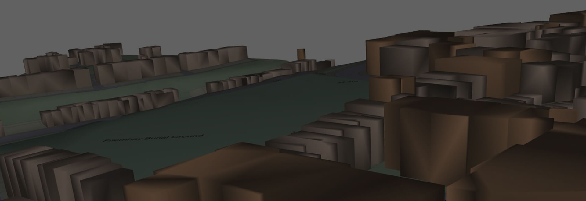
OS MasterMap 3D Data Bundle includes 3D buildings overlain on OS Terrain 5 Digital Terrain Model to give a fully 3D representation of both the natural and built topography of a site
In the PDF option the current OS Detail mapping is draped on the terrain surface, while in the DWG option the mapping is supplied as a separate high resolution geo-referenced PNG file.
The PDF format can be opened in an internet browser or using freely available software and gives users immediate access to 3D models.
Alternatively the DWG format allows CAD users to utilise the data for detailed analysis.
Data Information
| Dataset | OS MasterMap 3D Data Bundle |
| Supplier | Ordnance Survey |
| Typical Delivery Time | 1-3 minutes |
Available now
OS Detail 3D Data Bundle is ready in a range suitable formats within minutes.
Go to Promap
Download samples
OS MasterMap 3D Data Bundle 3D PDF OS MasterMap 3D Data Bundle 3D DWG OS Building Height Attributes CSV Legend
Export formats
3D PDF 3D DWG CSV
Zmapping Detailed 3D Models
High detail 3D models providing an accurate representation of the real-world.
Browse Zmapping 3D Models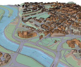
OS MasterMap with Building Height Attribute
Understand the built environment with Building Height Attributes added to OS MasterMap.
Browse MasterMap with Building Height Attribute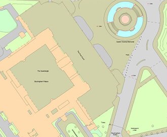
OS MasterMap
Updated every 6 weeks, MasterMap provides the most accurate view of the land. We also offer a range of other mapping layers to provide the full picture.
Browse OS MasterMap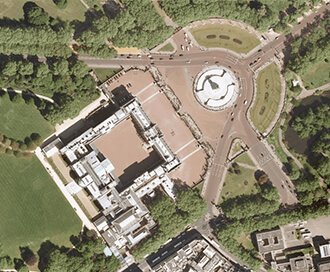
Getmapping Aerial Photography
Available in a range of resolutions and across Great Britain, Getmapping Aerial Photography is avaialble to view, print and export.
Browse Getmapping Aerial Photography