Promap Functionality
Through the viewable data layers monthly subscription this dataset can be overlaid on to the OS Openmap, Aerial. OS Vectormap Local and OS Mastermap topography layers, included in prints and the data exported to a CSV file. The data is also utilised for the Landsearch report available from Promap.
What does it provide?
Special Protection Areas (SPA) are classified under Article 4 of the European Commission (EC) Directive on the Conservation of Wild Birds 1979, commonly known as the Wild Birds Directive.
About the data
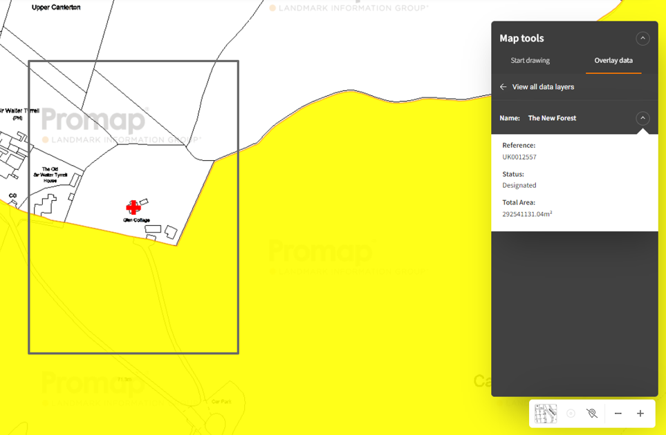
Dataset Name: Special Protection Areas
Supplier: Natural England, Natural Resources Wales and Scottish Natural Heritage
Coverage: England, Scotland and Wales
Update Cycle: Bi-Annually
Free or Subscription: Included in the £35 per month viewable data layers subscription option
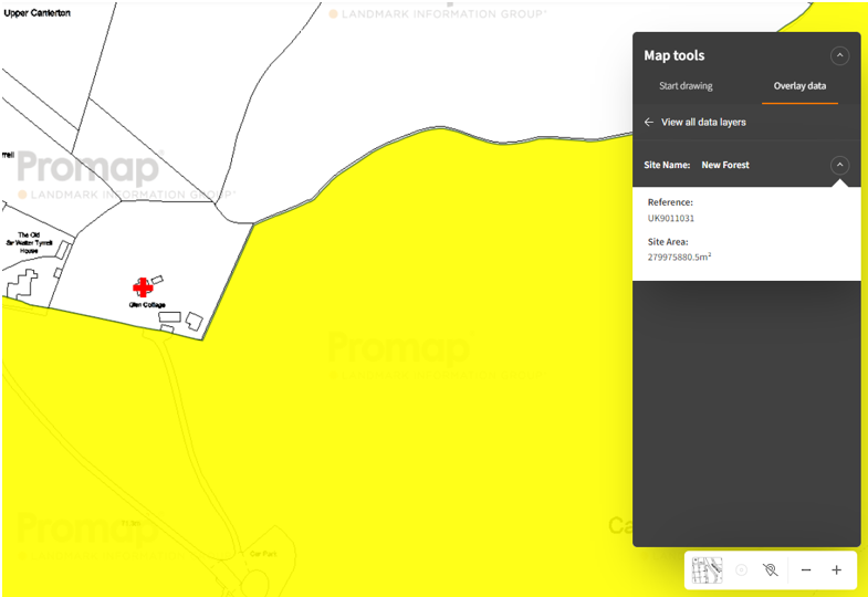
See samples of Special Areas of Conservation (SAC) in action:
Viewable Layers – Click Here
Landsearch Report – Click Here