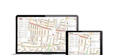
Promap Free Layers
Land Use Designations, Commercial Ownership and Flooding data free to view in Promap.
Overview
Promap’s Free Layers provide crucial insight regarding any site. Accessible for free by anyone within Promap Layers functionality, these data layers provide a wealth of information to support any planning, development or valuation requirement.
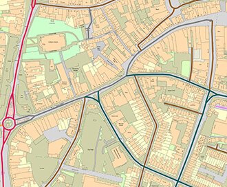
Unlock the power of the our Land Use Designation data to interrogate the Local Authorities’ Local Plan. This data has been summarised into key categories including; Boundaries, Community and Social Facilities, Economy, Heritage Environment, Housing, Open Environment, Resources and Waste, Retail and Town Centres, Rural Settlement, Transport and Others. You’ll be able to overlay data in an instant and find the exact policy and source map to investigate further.
Overlay Commercial Ownership Titles in the click of a button, then delve a little deeper to discover the Title Number, Title Type, Owner and Owner Address. If there’s more than one owner, not a problem, we’ll provide that insight too.
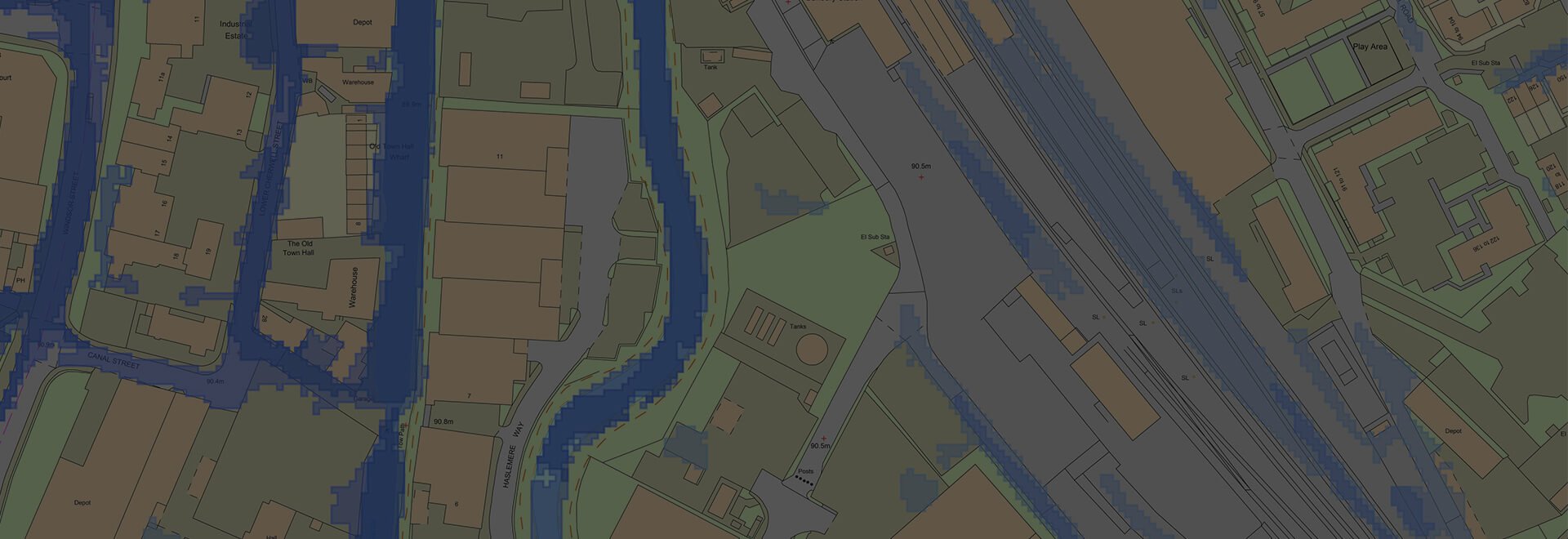
Free Flooding data provides access to Flood Zones 2 & 3 as well as Surface Water Flooding data across England and Wales.
Data Information
| Dataset | Land Use Designations |
| Supplier | Local Authorities |
| Update Cycle | As notified |
| Dataset | Commercial Ownership |
| Supplier | HMLR |
| Update Cycle | Monthly |
| Dataset | Flooding |
| Supplier | Environment Agency & Natural Resources Wales |
| Update Cycle | As notified |
Customers also bought...
Promap Premium Layers
Planning Applications, Personal Ownership Titles, Property Sold Prices, Development Constraints and Highways data, all available as part of a low cost monthly subscription.
Browse Premium Layers
LandSearch
Gather all the information that may impact your development at the touch of a button.
OS MasterMap®
Updated every 6 weeks, OS MasterMap® provides the most accurate view of the land. We also offer a range of other mapping layers to provide the full picture.
Browse OS MasterMap®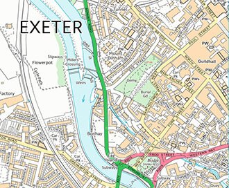
VectorMap Local
A high detail backdrop map from the Ordnance Survey, Vectormap Local available as either as digital data or in a PDF
Browse VectorMap