Promap Premium Layers
Planning Applications, Personal Ownership Titles, Property Sold Prices, Development Constraints and Highways data, all available as part of a low cost monthly subscription.
Overview
Planning Applications
Updated weekly this data includes large, small and minor applications which are split based on estimated project value. Small applications have a value of less than £100,000 and minor applications cover developments with less potential impact, for example conservatories, car ports and signs.
Each application provides information regarding Reference, Submission Date, Summary, Decision, Address, Use Class, Type, Description and Contact
Personal Ownership
This data contains Title numbers for non-commercial polygons.
Registered Leases
This dataset contains a list of registered leases within England and Wales. A lease is a contract which gives the right to exclusive possession of land to a tenant for a specific amount of time. Leasehold is one of two ways of owning land (the other is freehold). The landlord of a freehold or leasehold may grant a lease to a tenant. If the lease is granted for more than 7 years, it must be registered with HM Land Registry. Some leases that are shorter than 7 years are also registered.
Attributes within this dataset include; Title Number, Date of Lease, Term Start Date, Term Length, Term End Date, Price Paid, Registered Property Description, Associated Property Description, Alienation Clause (Y/N) and Location Accuracy.
Property Sold Prices
This data contains information about the sales of single residential properties which are sold for full market value to private individuals in England and Wales, which have been submitted to the Land Registry (HMLR) for registration.
Split by property type, attribute information also includes Price Sold, Date, Property Address and Tenure.
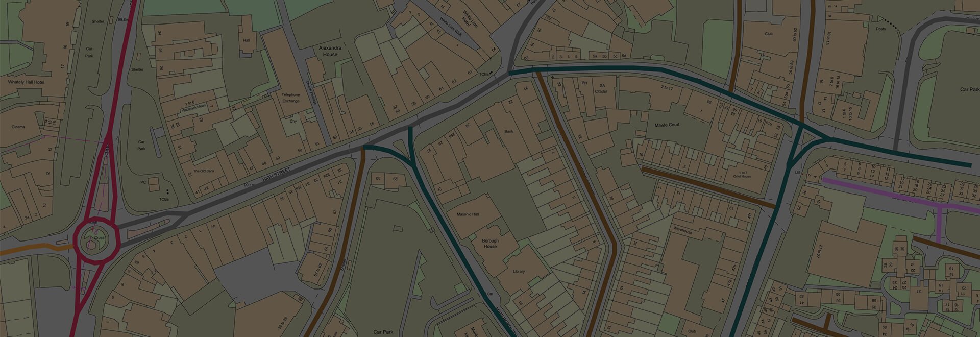
OS MasterMap Highways
The Highways data brings together information from authoritative sources such as the National Street Gazetteer (NSG) and OS Large Scale Road data to create a single authoritative view of the road network. Attribute information includes Name, Form of Way, Classification, State, Street Type, Maintenance Responsibility and Authority Name.
Listed Buildings
This data identifies features recorded on the statutory list of buildings of ‘special architectural or historic interest’. Interestingly it also includes structures that might not be first thought of as buildings, such as railings, gates, war memorials and post boxes can also appear on the system.
For each data point attribute information includes Name, Reference, Grading, Date Registered and Contact.
Greenbelt
Green belt is an area of principally open countryside surrounding existing built-up areas, the purpose of which is to check the unrestricted sprawl of the built-up area and to safeguard the surrounding countryside against further encroachment.
Sites of Special Scientific Interest
These sites have been designated under the Wildlife and Countryside Act 1981 Section 28 to protect areas of important flora, fauna, geological and/or physiographical features.
Special Protection Areas
This data identifiers protected sites classified in accordance with Article 4 of the EC Birds Directive, which came into force in April 1979. They are classified for rare and vulnerable birds, and for regularly occurring migratory species
Ramsar Sites
This data details the location of wetlands as designated by the Convention on Wetlands of International Importance, signed in Ramsar in 1971 and ratified by the UK Government in 1976.
Areas of Outstanding Natural Beauty
These areas are landscapes of national conservation importance for their distinctive character and natural beauty. Such sites are designated as Areas of Outstanding Natural Beauty (AONB) under the National Parks and Access to the Countryside Act 1949.
Scheduled Monuments
This date identifies nationally important archaeological sites protected under the UK’s current Ancient Monuments and Archaeological Areas Act 1979.
Ancient Woodland
Ancient Woodland is a term used in the United Kingdom to refer specifically to woodland dating back to 1600 or before in England and Wales, or 1750 in Scotland
Local Nature Reserves
These reserves have been designated under the National Parks and Access to the Countryside Act 1949, Section 21, as areas of local importance for nature conservation.
If you’d like to see for yourself how Promap Premium Layers can reduce time wasted gathering and collating data, click below to schedule a demo with a member of our team.

Seen enough and want to get started straight away? Click below to see how you can add Premium Layers to your existing Promap account in just a few clicks.

Available now
Promap Premium Layers is ready in a range suitable formats within minutes.
Go to Promap
Promap Free Layers
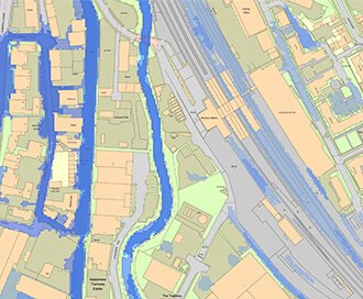
Land Use Designations, Commercial Ownership and Flooding data free to view in Promap.
Browse Free Layers
LandSearch
Gather all the information that may impact your development at the touch of a button.
OS MasterMap®
Updated every 6 weeks, OS MasterMap® provides the most accurate view of the land. We also offer a range of other mapping layers to provide the full picture.
Browse OS MasterMap®
VectorMap Local
A high detail backdrop map from the Ordnance Survey, Vectormap Local available as either as digital data or in a PDF
Browse VectorMap