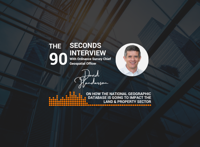
In this video, watch Alex Wrottesley, Managing Director of Landmark GeoData, interviewing David Henderson, Chief Geospatial Officer, Ordnance Survey. The video highlights the role that geospatial data and the National Geospatial Database play in business and emerging trends. Ordnance Survey (OS) is Great Britain’s national mapping agency, and it creates, maintains and distributes detailed location information for GB.
The OS NGD [National Geographic Database] offers:
- powerful geospatial analysis
- Up-to-date and analysis ready rich data
- Attribution interoperable
The new and interesting insights highlighted in the video are:
- A quick overview of the OS NGD
- How it can benefit customers in the land & property sector
- The innovations in geospatial that will have a big impact in the next 12-24 months
Don’t miss out on the chance to discover how geospatial data can benefit your business. Gain valuable insights from this informative discussion, which sheds light on the NGD new technology and its benefits to the land & property industry. Watch the video now!
Find more 90 seconds with interviews below: