Promap has added a raft of new features designed to make life easier for customers
Combined Print Formats
We know time is precious, so now you can purchase two formats of a map at once. This saves you time every day because there’s no need to repeat the steps to generate the second map. You simply select the PDF and Image option from the Print tab.
Buffer Tool
Add custom buffers to individual shapes, great for measuring and assessing site proximity to key infrastructure elements. First, lock your shape, and choose from the buffer options available in the right-click menu. You can enter any buffer from 0 to 1000m.
A0 Paper Size
Have a site assessment for a large real estate and commercial opportunity? Our new A0 maps will ensure you can create accurate maps without compromising on the scale required.
New Historical Map Format
Purchase individual maps dating back to 1840 to support boundary disputes, discover previous land use or find out about any previous contamination risks. Now available as GeoTIFF for valuation reports along with other supporting documentation.
6 New Layers in Promap Premium Layers at no extra charge
Additional layers include Ancient Woodland, Areas of Outstanding Natural Beauty, Local Nature Reserves, Ramsar Sites, Scheduled Monuments and Special Protection Areas.
Print Journey Updates
Now you can print maps with a few clicks. Edit Print and Reprint processes have significantly reduced the time to edit previously purchased maps.
Increase Locate Area
We’ve increased the area for viewing MasterMap within a single location from 1 km2 to 5.5 km2. This means reduced roaming costs and fewer interruptions to your work.
Enhancements designed from customer feedback
- Metrics and imperial switch made easier
- Enhanced add/remove points improved for better accuracy
- Larger export mapping limits to support transport planning
- Improved print quality ensures clarity and detail of the mapping requested
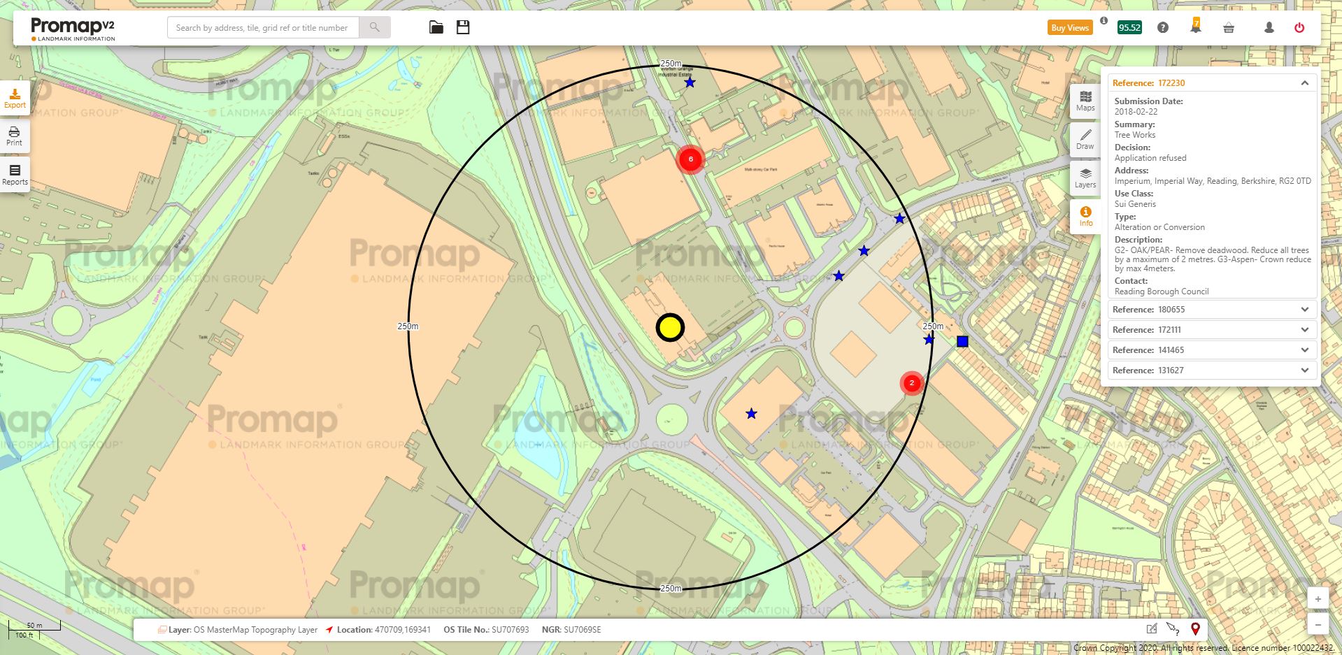
Promap Premium Layers
In addition to our new enhancements, you can streamline and improve your workflow with Promap’s Premium Layers. Promap’s Premium Layers is designed to help you find accurate, crucial information in less time.
If you spend hours researching a new site by trawling through local authority and planning websites and cross-referencing one set of data against another, it’s time for a change.
You can use a number of data layers to refine and tailor your work, including:
- Planning application data
- Personal ownership title information
- Price paid data
- Land use constraints
- OS MasterMap highways network
Main takeaways
We’ve added more features to give you an enhanced service with additional platform usability and functionality.
- Combined print formats to reduce repetition
- Customisable buffer tool
- Promap Premium Layers – low-cost solution for site appraisals and valuations
- A0 paper size
- Easy-switch for metrics and imperial
- Enhanced add/remove points
- Larger export mapping limits
- Improved print quality
Coming soon!
We have yet more improvements and enhancements in the pipeline.
Shp File Uploads
To ensure complete accuracy when managing site boundaries from your client or another team, you’ll be able to upload shp files to Promap.
Price per sq/ft
Save time in your assessments with our updated Property Sold Price data. To be placed within Promap Premium Layers, this feature means you’ll be able to include Price per sq/ft data within your property valuations.
Sign-up to one of our upcoming webinars to find out more about these features.