Landmark Information has announced the launch of a host of new features of its signature mapping and location data service Promap v2.
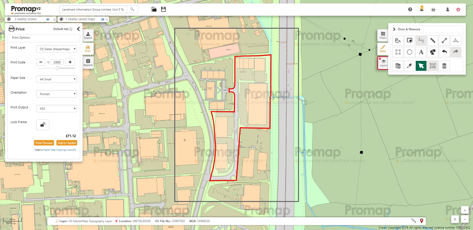
In particular a new Title Fill tool enables users to fill Land Registry ownership boundaries for freehold properties in one single click. The Title Fill tool makes handling large Land Registry titles simple; now, if the title extends beyond the current map view, Promap will automatically highlight the additional locations and quickly fill ownership boundaries so no details are missed.
A simple click fills the polygon in red, and any additional polygons forming part of the same Title will be highlighted in blue, following Local Authority protocol.
In addition, Promap v2’s free interactive viewable data layers can now be printed. Available via Promap Prints, architects, surveyors, planners, developers and other professionals can now print essential data layers relating to flood risk, land use designations and corporate ownership information.
Josh Rains, Senior Product Manager (Environment & Mapping) at Landmark Information said, “The Title Fill is a great tool that will help save Promap users time and will make sure that no boundary information is missed; we’ve already received great feedback from Promap users since it has been released.
“In addition, the ability to both view and print essential data layers for free gives our customers great context for site scoping, planning or an investigation piece, for example, by providing some great additional supporting evidence, at no cost.”
Further enhancements include:
Lock to Background
This handy new tool enables accurate drawing and for all OS mapping information to be maintained on the black and white MasterMap layer. For example, users may have telegraph cables crossing a site; these features will be maintained on the map, ensuring clarity and transparency of any maps created for clients or potential site buyers for example. To use Lock to Background, users simply draw a shape, right-click and go to ‘Special’ where they click ‘Lock to Background’.
Saved Maps enhancements
Using the address search, Promap v2 will now display any nearby saved maps created within the service, enabling users to make efficiency gains by not replicating previous maps or spending money creating duplicates. The ‘Open Maps’ and ‘Save Maps’ areas have been updated to include a date filter to speed up the process of retrieving saved maps from the last two years. If users require more historic maps, the existing search tool or desired date range can easily be applied to find the specific map.
Print Templates
Promap v2 now includes print template information, meaning print templates are saved for future use, removing the need to create this with each project.
Personalised Shape Library
The Promap Drawing Libraries allow users to saved frequently used shapes or features for use on future maps, great for reusable assets or building plans. Grouped shapes can be added to users’ drawing libraries, enabling them to save complex geometries for use on other maps without having to draw them again.
Draw and Measure Shapes Quicker
When drawing a shape on a map, the segment length is now shown on the ‘active line’ enabling users to easily note the lengths of different edges of the shape in question.
Concludes Josh Rains: “We are continually listening to feedback and updating Promap v2 to ensure it includes tools that help our customers get the data and maps they need, as quickly and easily as possible. Our team of account managers are constantly talking to customers, as well as providing training, and so ideas and feature requests are continually being fed into our product roadmap.
“On the horizon, we look forward to adding mapping gridlines to allow for more accurate bottom-line calculations, as well as the addition of larger paper sizes to enable large estates or portfolios to fit on one single map. I would encourage all users to follow the Promap Twitter for updates.”
Promap is used by thousands of land and property professionals across the UK to access a wide range of maps and location-based intelligence, including Ordnance Survey maps, via any online browser. It is used daily by surveyors, architects, property developers, civil engineers, environmental experts and other industry professionals that require instant access to reliable mapping and location data.
To try Promap v2, visit https://www2.promap.co.uk/.