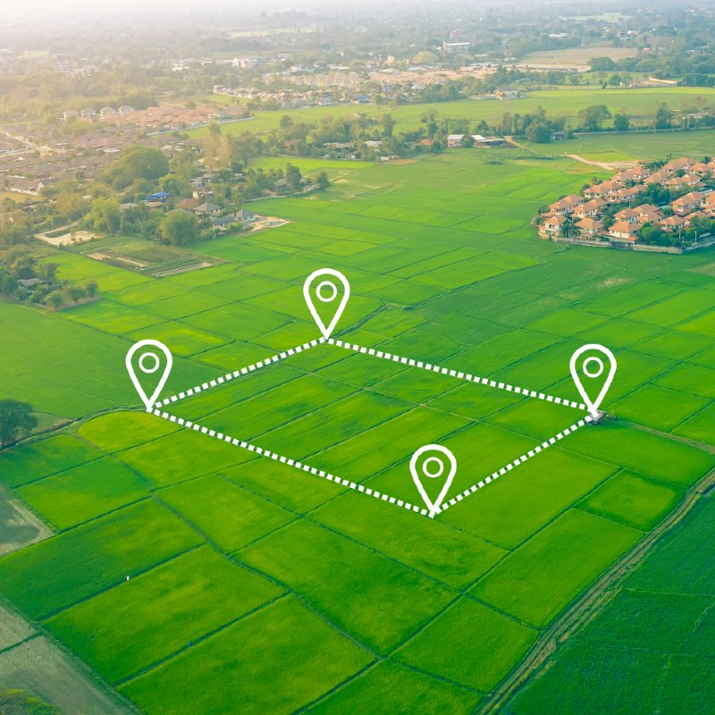
Mitigate risk before purchasing land
Undertaking due diligence appraisals of new land opportunities as part of the technical team requires an eye for detail, the ability to take in and assess vast amounts of data and the patience to undertake in-depth site investigations.
Before making recommendations and pulling together reports regarding the purchase of land, lots of information has to be considered by an expert eye, because mitigating risk before that project goes any further is key.
100% trust in the data
In order to allow the technical team to work efficiently, this data has to be clear, easy to interpret, and above all, accurate.
Promap only uses the most reliable and thoroughly checked datasets. We source data directly from agencies like Ordnance Survey, The Environment Agency and the Land Registry.
In addition, sitting behind every data instance, we have a dedicated Data Team of 20 who source, process and validate data regularly. They use specific tools such as Oracle, FME and QGIS which enable them to complete a number of tests and checks, ensuring that our data is truly best in class.
Clear, accessible data at your fingertips
Searching for the required data and waiting for the reports to be returned is one of the most frustrating parts of the process, as is converting the data into a useful format for your review and final recommendations.
One of the best ways to save time is by having all your data in one place, easily accessible and easy to interpret.
Promap is a complete service for all enhanced mapping research and reporting.
- Mapping available in CAD and GIS friendly formats
- Planning, Ownership and Environmental data available to overlay.
- Phase 1 and Flood Risk Assessments reports from Argyll Environmental
- Utilities reports with fixed pricing which includes disbursement.
- CAD friendly utility plans
In addition, our Utilities Report and Digital Utilities Overview Plan (DUOP) services source data directly from the utility supplier and are subject to the most rigorous quality assurance to ensure quality, mitigating risk from potential red flags.
DUOP provides a clear visual representation of all the data in a standard Utilities Report in a map format. All relevant utilities information is layered over the top of your site map.
Everything is upfront with Promap. As soon as you draw a boundary, all costs and turnaround times are visible, so you can make accurate predictions in your reports. And, of course, when you buy the map, it’s fully licensed and shareable with all the members of your team and contractors.
