As Benjamin Franklin once said “If you fail to plan, you are planning to fail” and this is most certainly the case when it comes to sourcing and developing land.
You know that it is important to arm yourself with as much site knowledge and insights as possible to understand what obstacles you may have to navigate, not only with the land selection and acquisition, but with future designs, planning applications and the ultimate build process of your project.
If there are gaps or manual errors in the due diligence process, it has the potential to prolong deadlines, delay development timescales and ultimately waste valuable time.
So just how can this be undertaken in a time-efficient and accurate way?
Having the latest maps and geospatial data at your fingertips helps you to make better-informed investment decisions from day one. It can help you:
- Identify ownership information
- Assess historical land use
- Uncover hazards, such as contaminated land, flood or subsidence risk
- Investigate land-use constraints or planning restrictions
- Assess a site’s terrain and height data
- Visualise underground utilities assets in one clear map
With ongoing pressure to meet annual site quotas, being able to quickly assess the potential of numerous sites – and source, appraise, and present multiple sites with consistent data – ahead of the competition, is an ongoing challenge.
Digital mapping saves you valuable time, lets you present findings to your clients or planning departments in a clearly visualised way and gives you many efficiencies, including:
- Improves site sourcing, surveying and visualisation
- Removes the need to contact multiple data providers, such as Local Authorities’ planning departments, the Environment Agency, Land Registry, Ordnance Survey and others to fact-find
- Eliminates the need to cross-reference research to calculate a meaningful picture on which to appraise a site
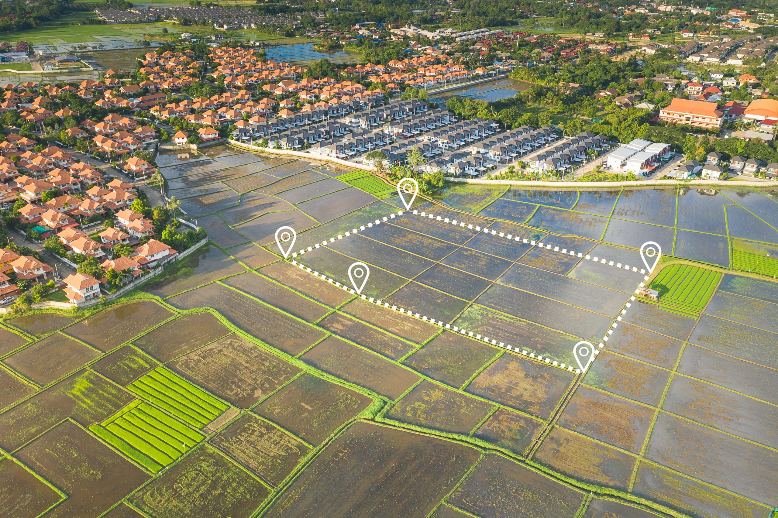
- Simply overlay location-based data on top of a digital map to visualise the extent of the project
With digital mapping in your armoury, you can be confident in finding the most appropriate land for your projects more quickly, increase the success rate of planning applications with fewer surprises or obstacles as the project progresses, and ultimately have greater confidence in your investment decisions.
