Promap Functionality
Through the viewable data layers monthly subscription this dataset can be overlaid on to the OS Openmap, Aerial. OS Vectormap Local and OS Mastermap topography layers, included in prints and the data exported to a CSV file. The data is also utilised for the Landsearch and Plansearch Plus reports available from Promap.
What does it provide?
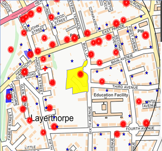
This dataset contains details of planning activity submitted to local authorities and regulated by the Town and Country Planning Act. In addition to formal planning applications this dataset also includes details of requests for tender gathered from trade sources and the Official Journal of the European Union (OJEU). The dataset includes large, small and minor applications which are split on the basis of estimated project value. Small applications have a value of less than £ 100,000 and minor applications cover developments with less potential impact, for example conservatories, car ports and signs.
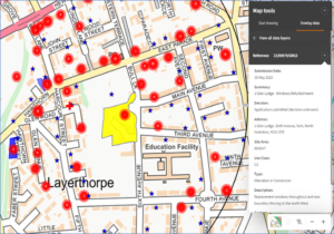
Dataset Name: Planning Applications
Supplier: Local Authorities
Coverage: England, Scotland and Wales available from 1997 but shown for the last seven years in Promap’s Products (Premium Data Layers, Plansearch Plus and Landsearch)
Update Cycle: Updates are received and processed daily
Free or Subscription: Included in the £35 per month viewable data layers subscription option
See samples of the planning data in action in:
Landsearch – Click Here
Plansearch Plus – Click Here
Viewable Layers – Click Here